
Borders of the Roman Empire
Borders of the Roman Empire, Political border and UNESCO World Heritage Site in England and Germany.
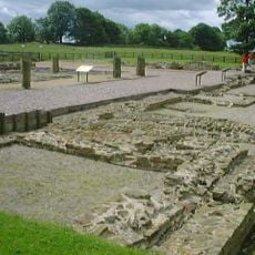
The Roman Empire borders incorporated military roads, forts, natural barriers like rivers, and constructed fortifications to separate imperial territories from external lands.
During the second century AD, the Romans strengthened their frontier defenses with stone walls, embankments, and numerous fortified positions across multiple territories.
The border system influenced European development through the establishment of trade routes, military outposts, and interaction zones between Roman and non-Roman populations.
Visitors can explore archaeological sites, museums, and reconstructed fortifications along the preserved sections of the Roman frontier in multiple European countries.
The Saalburg Roman Fort near Frankfurt presents a complete reconstruction of a border garrison, featuring original foundations and recovered Roman artifacts.
Part of: Roman Empire
GPS coordinates: 54.99261,-2.60100
Latest update: May 26, 2025 21:20


Banna
349 m
Hadrian's Wall
305 m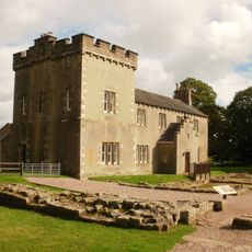
Birdoswald
353 m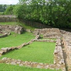
Milecastle 48
1.8 km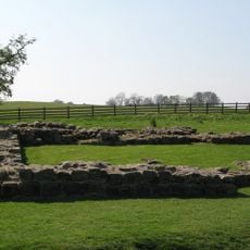
Milecastle 49
434 m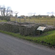
Leahill Turret
3.6 km
Milecastle 50
1.1 km
Milecastle 51
2.6 km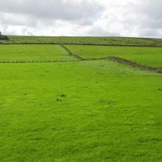
Milecastle 47
3.3 km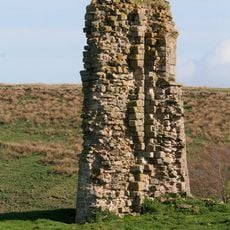
Triermain Castle
2.2 km
St. Mary Magdalene's Church, Gilsland
1.8 km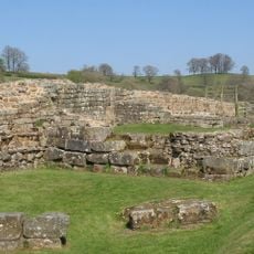
Willowford Bridge
588 m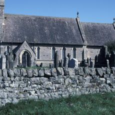
Church of St Cuthbert
2.9 km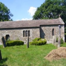
St Cuthbert's church, Upper Denton
1.1 km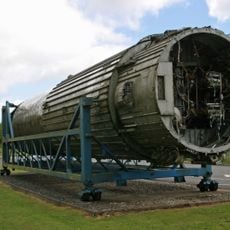
Raf Spadeadam: Blue Streak Rocket
3.7 km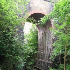
Poltross Burn Viaduct
1.8 km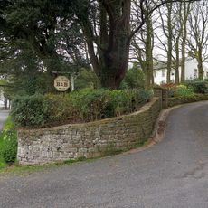
The Hill
814 m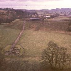
Hadrian's Wall and vallum and their associated features between Poltross Burn and the River Irthing in wall mile 48
1.2 km
Dinmont House
1.7 km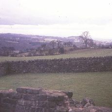
Hadrian's Wall and vallum between the field boundary west of Coombe Crag and Banks Green Cottage and the road to Lanercost at Banks in wall miles 51 and 52
4 km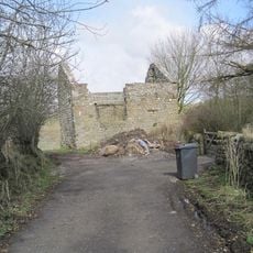
Bastle at Upper Denton
1.1 km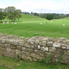
Hadrians Wall Milecastle And Turrets Hadrians Wall, Milecastle And Turrets
2.2 km
Orchard House
1.6 km
1-4, Hall Terrace
1.7 km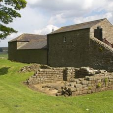
Farmbuildings Situated 30 Metres North North West Of Birdoswald Farmhouse Or Tenement
342 m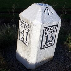
Milestone West Of At Temon Bridge At Ngr Ny 6080 63660
3 km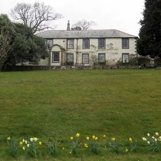
Spa Villa
2.1 km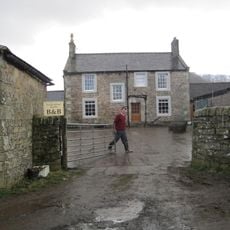
Willowford And Adjoining Farm Buildings
838 mReviews
Visited this place? Tap the stars to rate it and share your experience / photos with the community! Try now! You can cancel it anytime.
Discover hidden gems everywhere you go!
From secret cafés to breathtaking viewpoints, skip the crowded tourist spots and find places that match your style. Our app makes it easy with voice search, smart filtering, route optimization, and insider tips from travelers worldwide. Download now for the complete mobile experience.

A unique approach to discovering new places❞
— Le Figaro
All the places worth exploring❞
— France Info
A tailor-made excursion in just a few clicks❞
— 20 Minutes