
Nonnenkloster, unincorporated area in Germany
Location: Schweinfurt
Shares border with: Bürgerwald
GPS coordinates: 49.89000,10.43330
Latest update: April 2, 2025 22:18
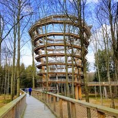
Baumwipfelpfad Steigerwald
4.7 km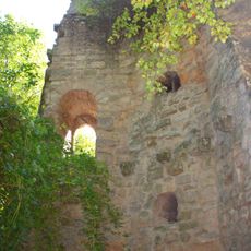
Stollburg
1.7 km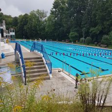
Geomaris
5.6 km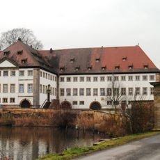
Schloss
5.1 km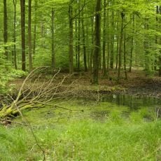
Der Hohe Buchene Wald im Ebracher Forst
4.7 km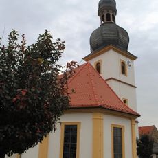
St. Johannis
4.9 km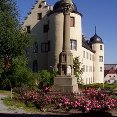
Amtshaus
3.7 km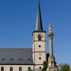
Pfarrkirche
3.6 km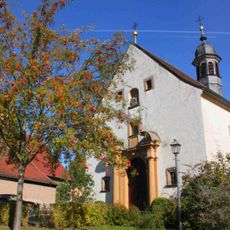
Filialkirche
2.2 km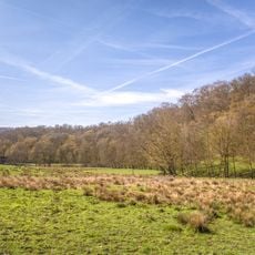
Naturwaldreservat Zwerchstück
655 m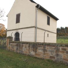
Taharahaus
5.1 km
Spitalgrund-Oberes Volkachtal
3.4 km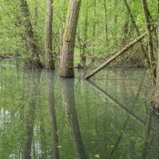
Naturwaldreservat Waldhaus mit Feuchtbereich im Handthalgrund
3.5 km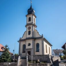
Pfarrkirche
2 km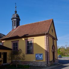
St. Anna in Vögnitz
5.4 km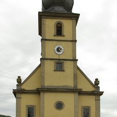
Pfarrkirche
4.7 km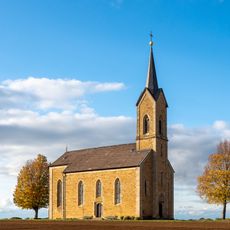
Wallfahrtskirche
4.7 km
Filialkirche
4.6 km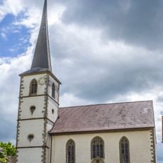
Pfarrkirche
5.8 km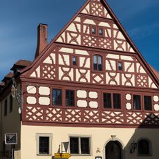
Gasthaus
3.7 km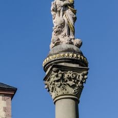
Mariensäule
3.7 km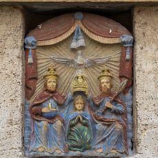
Relief
3.7 km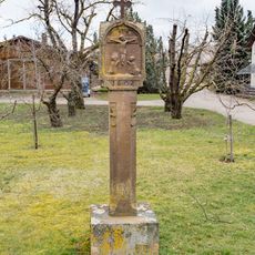
Bildstock
5.6 km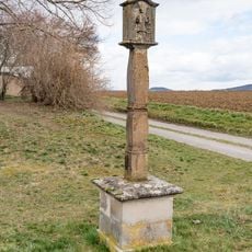
Bildstock
5.5 km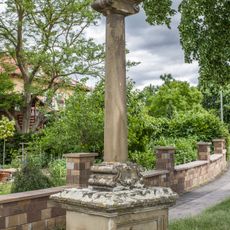
Bildstock
5.6 km
Bildstock
1.9 km
Pfarrhaus
2 km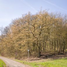
Zwerchstück
625 mReviews
Visited this place? Tap the stars to rate it and share your experience / photos with the community! Try now! You can cancel it anytime.
Discover hidden gems everywhere you go!
From secret cafés to breathtaking viewpoints, skip the crowded tourist spots and find places that match your style. Our app makes it easy with voice search, smart filtering, route optimization, and insider tips from travelers worldwide. Download now for the complete mobile experience.

A unique approach to discovering new places❞
— Le Figaro
All the places worth exploring❞
— France Info
A tailor-made excursion in just a few clicks❞
— 20 Minutes