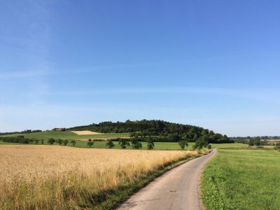
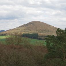
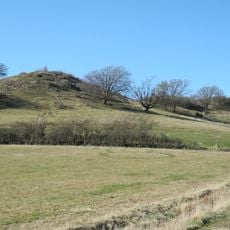
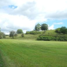
Graner Berg, Mountain summit in Hesse, Germany
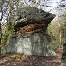
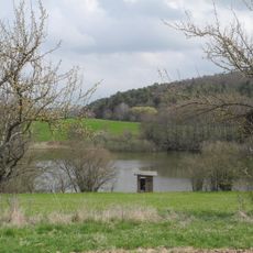
Graner Berg is a mountain summit in the Ostwaldecker Randsenken region of Hesse with a height of 315 meters. The rock formations are primarily limestone that formed approximately 240 million years ago.
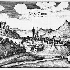
The mountain takes its name from Kirchdorf Gran, a settlement established by Chattish-Saxon farmers between the 4th and 8th centuries. This period coincided with the Christianization of the local region.
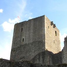
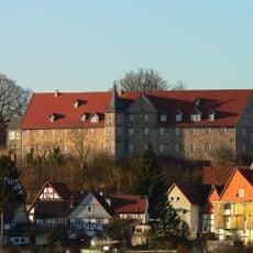
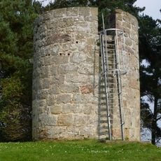
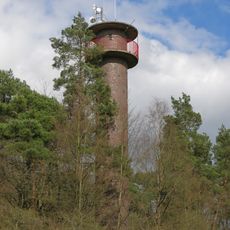
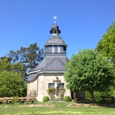
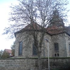
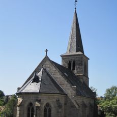
The two towers near the summit, built between 1905 and 1909, serve as local landmarks where visitors and residents gather to enjoy views and rest. These structures have become natural meeting points for people exploring the surrounding region.
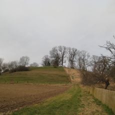
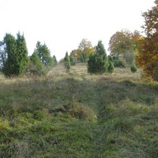
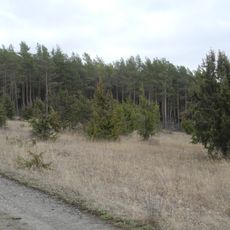
The summit is accessible via a steep road from Landesstraße 3214 or through numerous hiking trails in the area. The routes vary in length and difficulty, allowing visitors to choose a path suited to their fitness level.
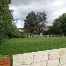
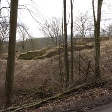
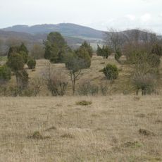
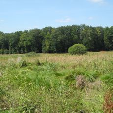
The Drachenhöhle, a former quarry located roughly 300 meters south of the peak, once supplied stone for building the towers. After its quarrying days ended, it became a refuge and remains a noteworthy spot for those exploring the area.
Location: Hesse
Elevation above the sea: 315 m
Part of: Ostwaldecker Randsenken
GPS coordinates: 51.30716,9.17470
Latest update: December 14, 2025 18:44
Weidelsburg
4.4 km
Schloss Höhnscheid
5.3 km
Jewish cemetery Wolfhagen
2.2 km
Burg Naumburg
7 km
Burg Wolfhagen
1.9 km
Burgruine Rodersen
6.8 km
Raue Steine
2 km
Isthaberg
3.3 km
Naturschutzgebiet Glockenborn bei Bründersen
827 m
Bahnhof Naumburg (Bz Kassel)
6.3 km
Stadtkirche Wolfhagen
2 km
Altenstädter Warte
4.5 km
Ofenberg-Tower
2.5 km
Rodeser-Berg
6.7 km
Schützeberg
4.1 km
Weingartenkapelle zu Naumburg
6.1 km
Evangelische Kirche Balhorn
5.7 km
Protestant Church (Naumburg, Hesse)
6.4 km
Helfenberg
3.5 km
Wünne bei Viesebeck
6.9 km
Dörneberg bei Viesebeck
4.9 km
Festberg bei Philippinenthal
4.3 km
Evangelische Kirche
6.2 km
Evangelische Kirche
6 km
Hengstwiese bei Naumburg
5.9 km
Dörneberg und Wünne bei Viesebeck
6 km
Naturschutzgebiet Sumpfwiese am Wattenberg
6.4 km
Naturschutzgebiet Hute vor dem Bärenberg
6.7 kmVisited this place? Tap the stars to rate it and share your experience / photos with the community! Try now! You can cancel it anytime.
Discover hidden gems everywhere you go!
From secret cafés to breathtaking viewpoints, skip the crowded tourist spots and find places that match your style. Our app makes it easy with voice search, smart filtering, route optimization, and insider tips from travelers worldwide. Download now for the complete mobile experience.
A unique approach to discovering new places❞
— Le Figaro
All the places worth exploring❞
— France Info
A tailor-made excursion in just a few clicks❞
— 20 Minutes