
Machtolsheim, quarter of Laichingen, Baden-Württemberg, Germany
Location: Laichingen
Elevation above the sea: 725 m
GPS coordinates: 48.50000,9.73330
Latest update: April 11, 2025 10:38

Laichinger Tiefenhöhle
3.9 km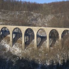
Drachenlochbrücke
8.4 km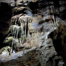
Sontheimer Höhle
8.5 km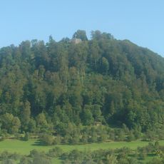
Hiltenburg
9.2 km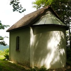
Burgruine Berneck mit Buschelkapelle (Deggingen)
10 km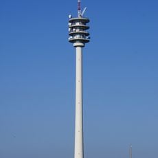
Aufi Tower
9.9 km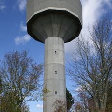
Water Tower Machtolsheim
1 km
Schinderwasenbuche
5.2 km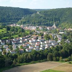
Burg Blauenstein
9.9 km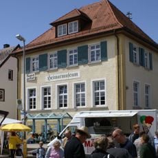
Heimatmuseum Nellingen
6.3 km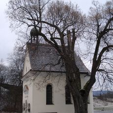
Josefskapelle
9.8 km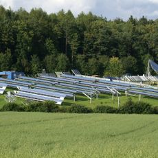
Solar-Testfeld Widderstall
4.2 km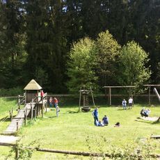
Pony & Märchenpark Zwergental
2.4 km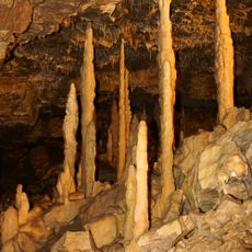
Hintere Kohlhaldehöhle
8.5 km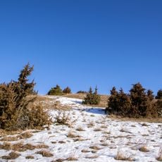
Laichinger Eichberg
3.5 km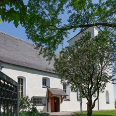
St. Lawrence church in Scharenstetten
8.9 km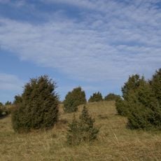
Mönchsteig
5.4 km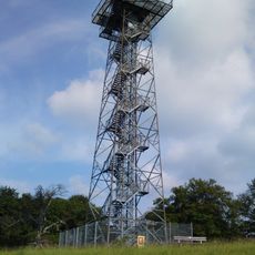
Heroldstatt-Tower
10 km
Albhochflächen um Hohenstadt und Drackenstein mit oberem Gosbachtal
6.4 km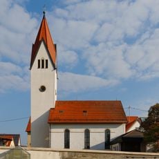
St. Martin's Church
9.5 km
Laichingen
3.9 km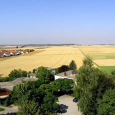
Dornstadt
9.2 km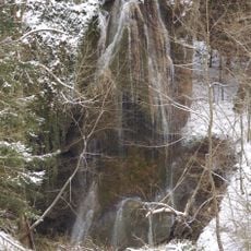
Unterdrackensteiner Tuffsteinfels mit Höhlen
8.2 km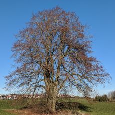
1 Sommerlinde
9.2 km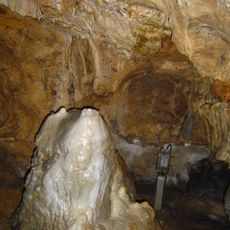
Sontheimer Höhle (a) mit Rotbuche (b) am Höhleneingang
8.4 km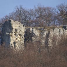
Tiersteinfels
9.1 km
Westerheim
9.2 km
1 Linde bei der Josefskapelle
9.8 kmReviews
Visited this place? Tap the stars to rate it and share your experience / photos with the community! Try now! You can cancel it anytime.
Discover hidden gems everywhere you go!
From secret cafés to breathtaking viewpoints, skip the crowded tourist spots and find places that match your style. Our app makes it easy with voice search, smart filtering, route optimization, and insider tips from travelers worldwide. Download now for the complete mobile experience.

A unique approach to discovering new places❞
— Le Figaro
All the places worth exploring❞
— France Info
A tailor-made excursion in just a few clicks❞
— 20 Minutes