Ketscher Rheininsel, Protected area in Ketsch, Germany
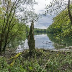
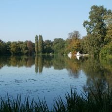
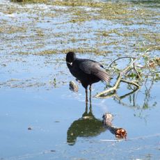
The Ketscher Rheininsel is a 490-hectare nature reserve west of Ketsch, on the right bank of the Rhine opposite Otterstadt near Speyer. It formed only after the Rhine was straightened under Tulla and is covered largely by elm-hornbeam forest of hornbeam, field elm and pedunculate oak, with softwood and hardwood floodplain zones.
The island was formed by the straightening of the Rhine carried out under Johann Gottfried Tulla; it lies opposite Otterstadt and belonged to that municipality's district before passing to Baden. It counted as part of the unincorporated Rheinwald area until it was incorporated into Ketsch in 1931. It was placed under protection by decree on 11 April 1950, and the reserve was enlarged on 23 December 1983 to its present 490 hectares.
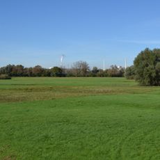
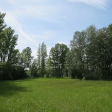
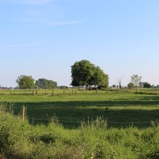
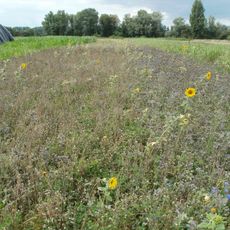
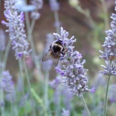
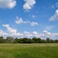
The name refers to the Rhine island by Ketsch, formed after the Rhine was straightened following Tulla's plans. Farmers probably laid out meadows, fields and pastures on cleared patches as early as the Middle Ages; today only meadows remain, from wet purple moor-grass meadows to drier sage and oat-grass meadows. A gravel ridge rises high enough to stay above floodwater, and its nutrient-poor soil supports a semi-dry grassland.
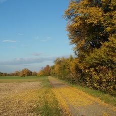
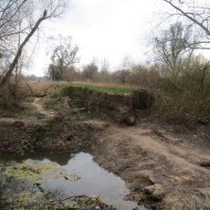
The reserve lies west of Ketsch and is reached via the Rhine forest; a survey mark, the Myriameterstein, stands at Rhine kilometre 406.5. The island is only completely flooded during extreme high water, but paths through the softwood and hardwood floodplain can stay wet. Keep dogs leashed and carry water and insect protection.
The site harbors Germany's largest population of wild grape varieties, a botanical feature that few people know about. These vines can be found on the grounds and represent a scarce component of the European ecosystem.
The community of curious travelers
AroundUs brings together thousands of curated places, local tips, and hidden gems, enriched daily by 93,593 contributors worldwide.