
Ehemaliges Freibad und Stadtgarten
Ehemaliges Freibad und Stadtgarten, building in Castrop-Rauxel, Germany
Location: Castrop-Rauxel
Inception: 1930s
GPS coordinates: 51.54389,7.31288
Latest update: March 13, 2025 05:56
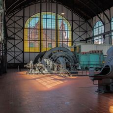
Zollern II/IV Colliery
3.3 km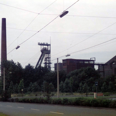
Zeche Erin
632 m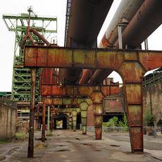
LWL-Industriemuseum
3.3 km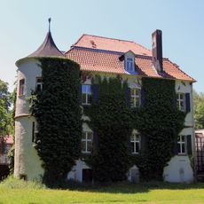
Haus Goldschmieding
758 m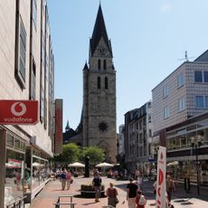
St. Lambertus
525 m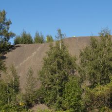
Halde Lothringen
3 km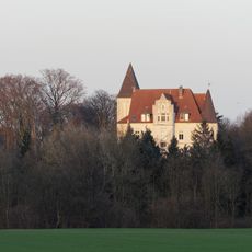
Haus Dorloh
2.6 km
Forum Castrop-Rauxel
2.4 km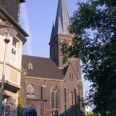
Lutherkirche
521 m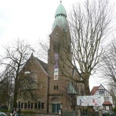
Evangelische Christuskirche Gerthe
3.5 km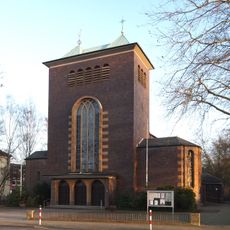
St. Dreifaltigkeit
2.3 km
Schadeburg
3 km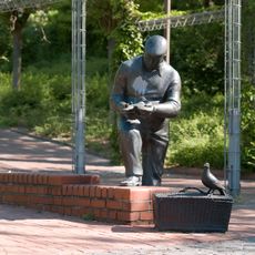
Taubenvatta-Denkmal
969 m
Gysenberg
3.3 km
Langeloh/In der Hemke
2.1 km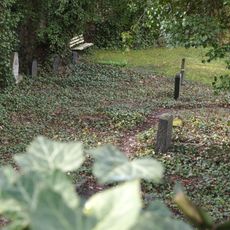
Jüdischer Friedhof
938 m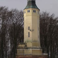
Kaiser-Wilhelm-Turm
3.1 km
Sodinger Holz
3.1 km
LSG-Holthausen, Sodinger Volkspark, Langeloh
2.4 km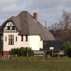
Villa, Castroper Straße 216
3.1 km
Langeloh
1.5 km
Volkspark Sodingen
3.1 km
Klutenhof, Castroper Straße
3.1 km
LSG-Berkelstrasse
3.4 km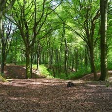
LSG-Bodelschwingh
3 km
LSG-Waldbereich noerdlich der Zeche Teutoburgia
2.6 km
LSG-Bereich westlich "Auf"m Kolm"
3 km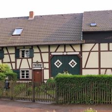
Fachwerkhaus, Schadeburgstraße 99
3.4 kmReviews
Visited this place? Tap the stars to rate it and share your experience / photos with the community! Try now! You can cancel it anytime.
Discover hidden gems everywhere you go!
From secret cafés to breathtaking viewpoints, skip the crowded tourist spots and find places that match your style. Our app makes it easy with voice search, smart filtering, route optimization, and insider tips from travelers worldwide. Download now for the complete mobile experience.

A unique approach to discovering new places❞
— Le Figaro
All the places worth exploring❞
— France Info
A tailor-made excursion in just a few clicks❞
— 20 Minutes