Enable Location

We need your location to show you interesting places around you

Discover nearby places

Find interesting locations and hidden gems around you

Precise directions

Get accurate directions and distances to places

Your location is never shared with other users. It's only used when you tap the location button.

Sandberg

Log in to your account

Start exploring — it's free

Trusted by 62,031 travelers worldwide

Continue with Google
Continue with Apple
or

We will send you a code to connect

By continuing, you accept our Terms and Conditions and our Privacy Policy

Check your inbox

We've sent a pincode in your inbox. Please enter the code below.

Sandberg

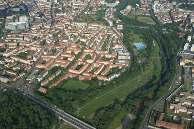
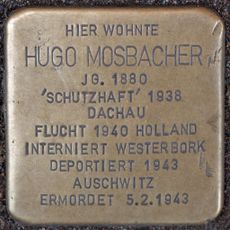
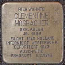
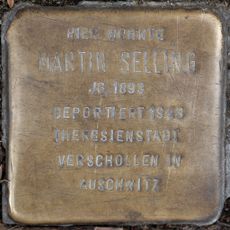
Sandberg, Statistical district in northwestern Nuremberg, Germany

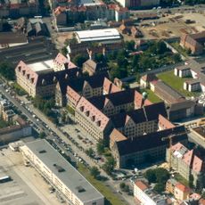
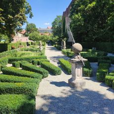
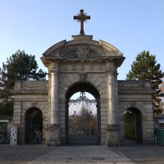
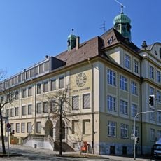
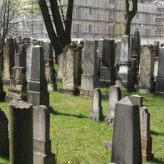
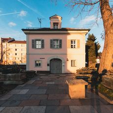
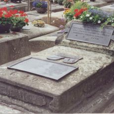
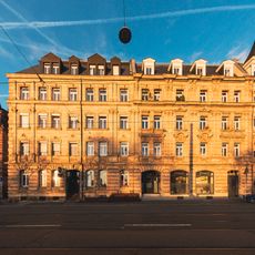
Sandberg is a statistical district in northwestern Nuremberg located between Klinikum Nord hospital, Johannisfriedhof cemetery, the Pegnitz River, and Westfriedhof cemetery. The area consists mainly of residential buildings from the early 20th century with broad streets, green spaces, and an orderly layout.

The area remained undeveloped until the 1890s when construction started along Johannisstraße and Schnieglinger Straße. Its incorporation into Nuremberg in 1899 marked the beginning of its growth as an urban residential neighborhood.

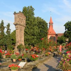
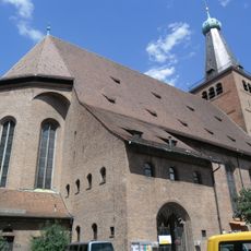
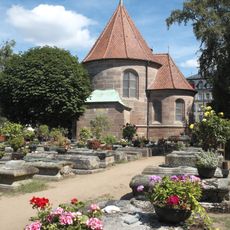
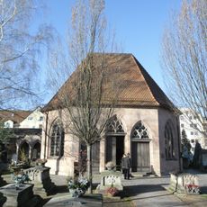
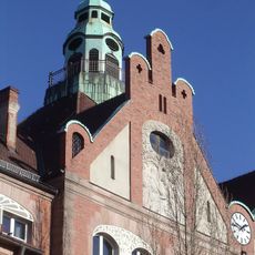
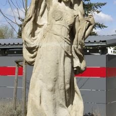
Saint Michael's Church with its neo-baroque design shapes the character of the neighborhood and serves as a gathering place for the local Catholic community. It stands as a quiet anchor point that helps define the rhythm of daily life in the district.

The neighborhood is well served by tram lines with stops at Johannisfriedhof, Julienstraße, and Westfriedhof, making it easy to reach central Nuremberg. The area is walkable with most local attractions within comfortable reach on foot.

The Westbad is the largest outdoor swimming facility in Nuremberg and underwent major renovation in 2011. It becomes a lively gathering place during warmer months when visitors come to swim and cool off.

The community of curious travelers

AroundUs brings together thousands of curated places, local tips, and hidden gems, enriched daily by 60,000 contributors worldwide.

Start exploring
Location
Shares border with
St. Johannis
GPS coordinates
49.46000,11.05435
Latest update
December 13, 2025 12:20
« Sandberg - Statistical district in northwestern Nuremberg, Germany » is provided by Around Us (aroundus.com). Images and texts are derived from Wikimedia project under a Creative Commons license. You are allowed to copy, distribute, and modify copies of this page, under the conditions set by the license, as long as this note is clearly visible.

Discover hidden gems everywhere you go!

From secret cafés to breathtaking viewpoints, skip the crowded tourist spots and find places that match your style. Our app makes it easy with voice search, smart filtering, route optimization, and insider tips from travelers worldwide. Download now for the complete mobile experience.

Around Us App Screenshot

A unique approach to discovering new places

Le Figaro

All the places worth exploring

France Info

A tailor-made excursion in just a few clicks

20 Minutes

Around Us
Travel Guide & Maps
Download

Send to your phone

QR Code
1

Open the camera app on your mobile.

2

Point at the QR code with your camera. A notification will appear.

3

Tap the notification to open the link.