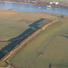
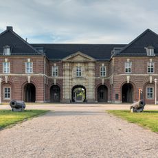
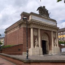
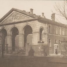
Reitzenstein barracks, Cultural heritage monument in Wesel, Germany.
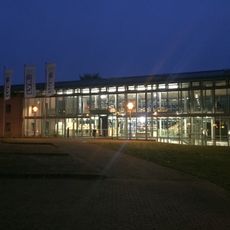
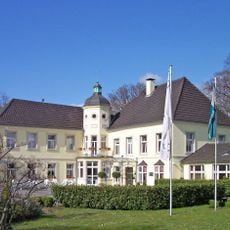
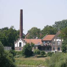
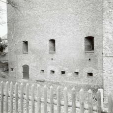
Reitzenstein barracks is a former military installation in Wesel that covers a large area with typical early 20th century military architecture. The complex has been gradually converted into residential spaces since the early 2000s while keeping many of its original architectural features.
The barracks were built during the German Empire era and served as a military hub for many decades. After ceasing military operations in 1996, the site began its transformation into a residential area that still shows signs of its former military purpose.
The barracks were long a center of military presence in the region and shaped Wesel's appearance for generations. Today the buildings still tell this story through their layout and design, a reminder of how deeply military life once influenced the city.
The site is now primarily a residential area, so public access is not available everywhere on the grounds. Visitors interested in seeing the historic buildings should check in advance which areas are open to the public or consider joining a guided tour.
What stands out about the barracks is how the conversion from a military facility to a residential neighborhood succeeded without destroying the buildings' characteristic structure. This created an interesting coexistence of historical architecture and modern living in the same location.
The community of curious travelers
AroundUs brings together thousands of curated places, local tips, and hidden gems, enriched daily by 60,000 contributors worldwide.