Korbmacherstraße, Historical street in central Wesel, Germany
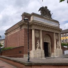
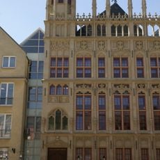
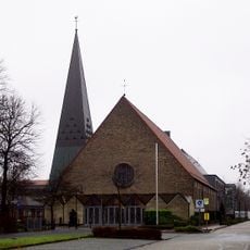
Korbmacherstraße is a historic street running north to south through central Wesel, measuring roughly 300 meters and connecting Mathenakreuz to Kreuzstraße. The avenue features buildings from different periods and houses retail shops alongside the Lutherkirche, a converted residence that now serves as a church.
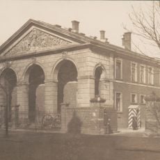
Originally called Antoniusstraße, this street emerged in the 14th century from a section of the medieval city fortification and moat system. The St. Antonius Chapel, constructed in 1352, gave the street its historic name until it was later renamed.
This street displays characteristics of a historic commercial avenue where buildings reflect different periods and continues to serve as an active meeting place for locals and visitors. The character developed through generations of craft businesses and merchants who established themselves in this location.
This street is easily accessible on foot with numerous shop entrances and public buildings lining its length. Visitors can find parking nearby and are within short walking distance of bus stops.
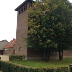
The Lutherhaus at the corner of Beguinenstraße was originally a private residence and was converted into a church for evangelical services in 1729. This surprising repurposing shows how buildings in this area adapted to changing community needs.
The community of curious travelers
AroundUs brings together thousands of curated places, local tips, and hidden gems, enriched daily by 60,000 contributors worldwide.