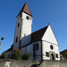
Stellberg, Mountain summit in Schönbuch Nature Reserve, Germany.
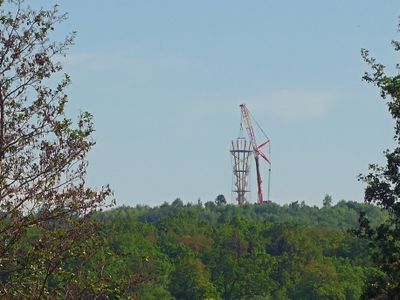
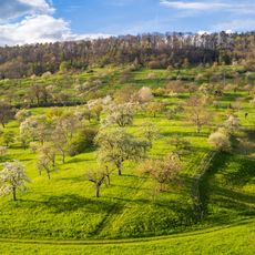
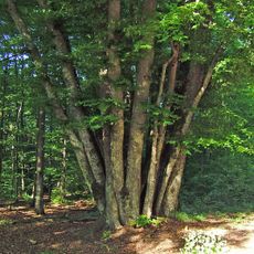
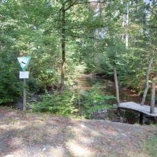
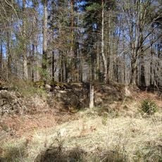
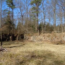
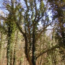
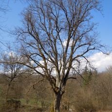
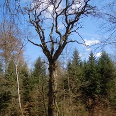
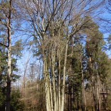
Stellberg is a mountain summit in the Schönbuch Nature Reserve, reaching about 580 meters in elevation. The peak sits within a forested landscape dotted with hiking trails that connect to other nearby summits and mountain huts in the region.
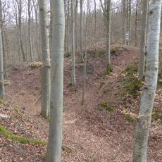
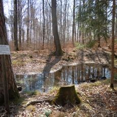
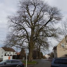
Stellberg emerged as a geographical reference point in the Schönbuch territory during the 19th century, when systematic forest management transformed the landscape. These forestry practices shaped the wooded terrain that exists today.
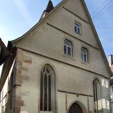
Local residents maintain traditional connections to Stellberg through seasonal outdoor activities and nature appreciation within the protected Schönbuch environment.
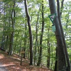
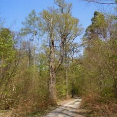
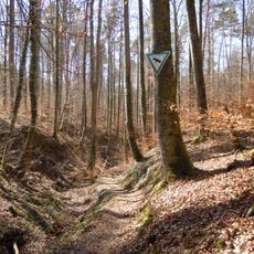
The summit is accessible via marked hiking trails that connect through the forest, with the Rosshauhütte mountain hut nearby serving as a good starting point. Visitors should wear comfortable walking shoes and bring weather-appropriate clothing for changing conditions.
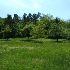
The mountain's position offers direct access to neighboring peak Kapf, situated 1.1 kilometers southwest, creating a natural hiking circuit between summits.
Location: Baden-Württemberg
Elevation above the sea: 580.33 m
GPS coordinates: 48.60397,8.90946
Latest update: December 14, 2025 14:41
Schönbuch Tower
11 m
Stiftskirche Herrenberg
2.9 km
Glockenmuseum Stiftskirche Herrenberg
2.9 km
Schloss Herrenberg
2.7 km
Spitalkirche Herrenberg
3 km
Grafenberg
2.8 km
Burg Rohrau
1.9 km
Schönbuchrand unter den Rohrauer Köpfen
3.1 km
Gesamtanlage Herrenberg
3 km
St. Maria Nufringen
2.7 km
Schönbuchrand von der Regierungsbezirksgrenze im SO des Landkreises bis zum Gewann 'Horn' und Gemarkung Gültstein
2.5 km
Neuapostolische Kirche Nufringen
2.3 km
Sandgrube Bei der Oberen Steige
2.7 km
Pelagiuskirche Nufringen
2.4 km
Linde u. Kastanie am Friedhof
2.8 km
Feuchtbiotop Sulz
3.3 km
2 Ulmen am Bahnhof
2.3 km
24 Buchen am Sommenrain (18stämmige Buche)
1.5 km
Zeppelineiche u. Feuchtbiotop Bei d.Oberen Steige
2.6 km
Steinbruch Stelze
1.4 km
Schilfsandsteinbruch Kirchhalde
2.1 km
Sandsteinbrüche Stellbergbrüche
376 m
Feldahorn am Königsrain, genannt Massholder
680 m
Linde am Knopfer
2.1 km
Ludwigseiche - Bei der Oberen Steige
2.9 km
Urenkeleiche auf der Platte
1.1 km
11 Buchen-Stelze (11-stämmige Buche)
1.2 km
Kalter Brunnen und Kaltes Tal
605 mVisited this place? Tap the stars to rate it and share your experience / photos with the community! Try now! You can cancel it anytime.
Discover hidden gems everywhere you go!
From secret cafés to breathtaking viewpoints, skip the crowded tourist spots and find places that match your style. Our app makes it easy with voice search, smart filtering, route optimization, and insider tips from travelers worldwide. Download now for the complete mobile experience.
A unique approach to discovering new places❞
— Le Figaro
All the places worth exploring❞
— France Info
A tailor-made excursion in just a few clicks❞
— 20 Minutes