Enable Location

We need your location to show you interesting places around you

Discover nearby places

Find interesting locations and hidden gems around you

Precise directions

Get accurate directions and distances to places

Your location is never shared with other users. It's only used when you tap the location button.

Langenbrander Höhe

Log in to your account

Start exploring — it's free

Trusted by 62,833 travelers worldwide

Continue with Google
Continue with Apple
or

We will send you a code to connect

By continuing, you accept our Terms and Conditions and our Privacy Policy

Check your inbox

We've sent a pincode in your inbox. Please enter the code below.

Langenbrander Höhe

Langenbrander Höhe, Mountain summit in Black Forest, Germany.

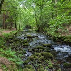
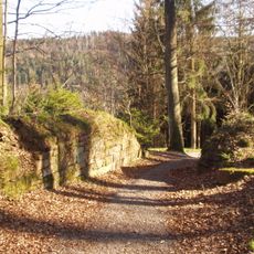
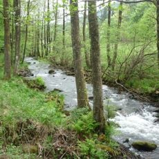
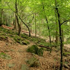
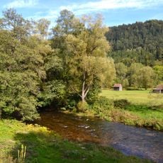
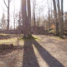
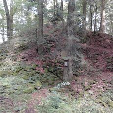
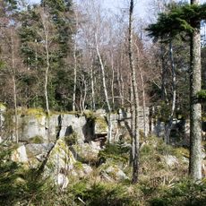
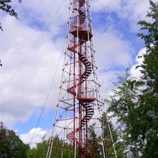
Langenbrander Höhe is a mountain summit in the Black Forest region of Baden-Württemberg. The slope is covered with coniferous woodland and features multiple marked hiking paths that wind through the forested terrain.

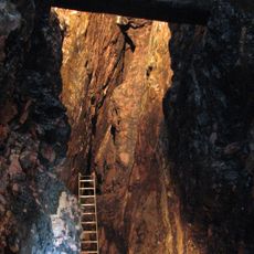
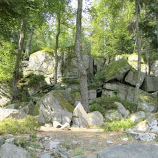
The summit formed through glacial processes during past ice ages that shaped the Black Forest massif. These geological events created the varied topography visible across the region today.

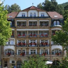
Local residents maintain traditional celebrations throughout the seasons, incorporating the mountain's natural settings into their regional festivities.

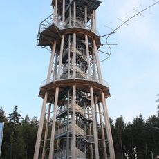
Access is via marked hiking trails that begin from parking areas near Schömberg and lead upward through the forest. Walking routes are accessible year-round, though sturdy footwear and weather-appropriate clothing are recommended for safe travel.

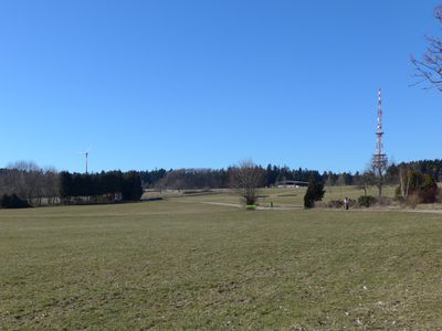
From this point, views extend across the entire Black Forest landscape with visible valleys and ridgelines stretching away. The vista is particularly striking in early morning when fog fills the valleys and isolates the peaks.

The community of curious travelers

AroundUs brings together thousands of curated places, local tips, and hidden gems, enriched daily by 60,000 contributors worldwide.

Start exploring
GPS coordinates
48.80395,8.61758
Latest update
December 14, 2025 20:31
« Langenbrander Höhe - Mountain summit in Black Forest, Germany » is provided by Around Us (aroundus.com). Images and texts are derived from Wikimedia project under a Creative Commons license. You are allowed to copy, distribute, and modify copies of this page, under the conditions set by the license, as long as this note is clearly visible.

Discover hidden gems everywhere you go!

From secret cafés to breathtaking viewpoints, skip the crowded tourist spots and find places that match your style. Our app makes it easy with voice search, smart filtering, route optimization, and insider tips from travelers worldwide. Download now for the complete mobile experience.

Around Us App Screenshot

A unique approach to discovering new places

Le Figaro

All the places worth exploring

France Info

A tailor-made excursion in just a few clicks

20 Minutes

Around Us
Travel Guide & Maps
Download

Send to your phone

QR Code
1

Open the camera app on your mobile.

2

Point at the QR code with your camera. A notification will appear.

3

Tap the notification to open the link.