
Kierspe Typ B, protected area in Germany
Location: Kierspe
Inception: 2003
GPS coordinates: 51.11957,7.54230
Latest update: July 8, 2025 22:51
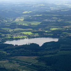
Brucher Talsperre
4.4 km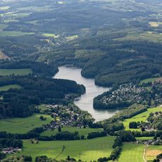
Lingesetalsperre
2.4 km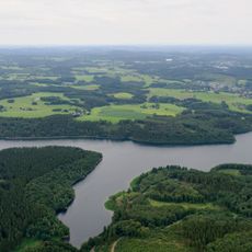
Barrage de la Kerspe
2.9 km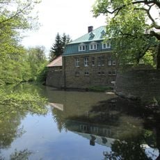
Haus Rhade
7.5 km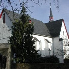
St. Mariä Heimsuchung (Marienheide)
4.1 km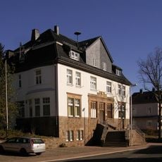
Bakelite museum Kierspe
3.7 km
Wipperaue Eulenbecke
3.7 km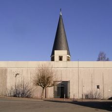
St. Josef (Kierspe)
4.2 km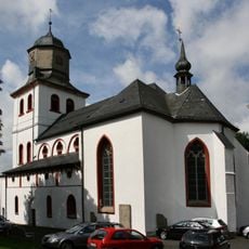
Jesus-Christus-Kirche (Meinerzhagen)
7 km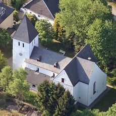
Kirche Müllenbach
6.5 km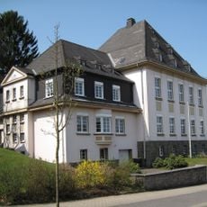
Amtsgericht Meinerzhagen
7.3 km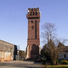
Aussichtsturm Karlshöhe
7.6 km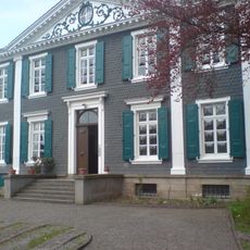
Villa Ohl
3.9 km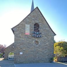
Bergisches Drehorgelmuseum
4.7 km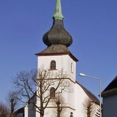
Margarethenkirche
3.6 km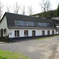
Schleiper Hammer
6.3 km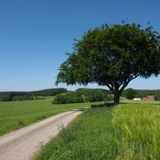
Carlsbuche
1.8 km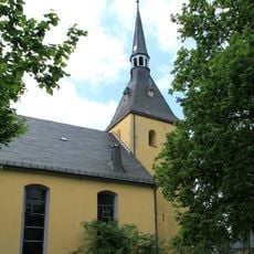
Evangelische Kirche Rönsahl
2.4 km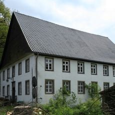
Reidemeisterhaus Voswinkel
6.1 km
Wilde Ennepe
6.5 km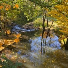
Wupperaue
7.4 km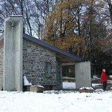
Saint Hubertus Chapel
6.1 km
Quellgebiet der Wupper
4.6 km
Krugmann-Häuser
7.3 km
In der Bommert
5.4 km
Steinsmark
4.7 km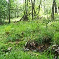
Fernhagener Bach und Jubachtal
7.6 km
Steinsmark
4.6 kmReviews
Visited this place? Tap the stars to rate it and share your experience / photos with the community! Try now! You can cancel it anytime.
Discover hidden gems everywhere you go!
From secret cafés to breathtaking viewpoints, skip the crowded tourist spots and find places that match your style. Our app makes it easy with voice search, smart filtering, route optimization, and insider tips from travelers worldwide. Download now for the complete mobile experience.

A unique approach to discovering new places❞
— Le Figaro
All the places worth exploring❞
— France Info
A tailor-made excursion in just a few clicks❞
— 20 Minutes