
Rehleitenkopf, mountain in Germany
Location: Bavaria
Elevation above the sea: 1,338 m
GPS coordinates: 47.70257,12.10368
Latest update: March 30, 2025 23:53
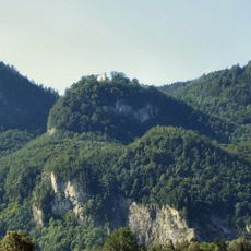
Petersberg
1.9 km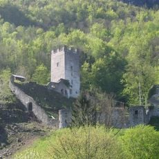
Burg Unter-Falkenstein
2.6 km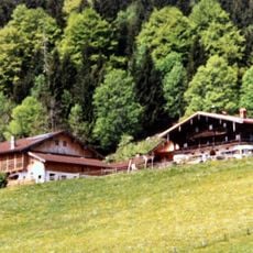
Hohe Asten
995 m
Burg Ober-Falkenstein
2.2 km
Maiwand
1.2 km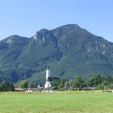
Großer Riesenkopf
700 m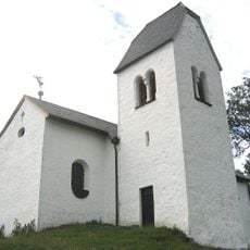
St. Peter's Abbey on the Madron
2 km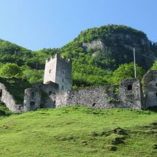
Falkenstein sur l'Inn
205 m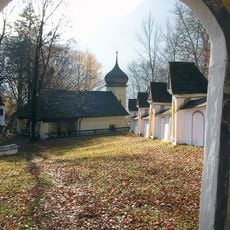
Wallfahrtskirche St. Maria Magdalena auf der Biber
2.7 km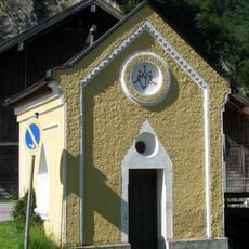
Wegkapelle Astenweg
2.6 km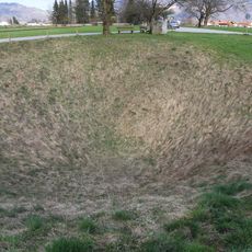
Doline Wolfsgrube bei Flintsbach
2.7 km
Gasthaus
2.8 km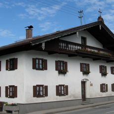
Ehem. Handwerkerhaus
2.8 km
Bauernhaus
1.9 km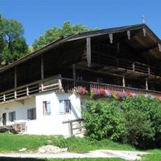
Bergbauernhaus
1.1 km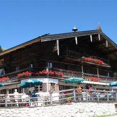
Ehem. Bergbauernhaus
994 m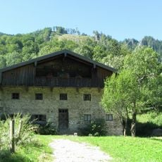
Bauernhaus
1.8 km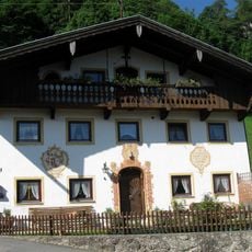
Falkensteinstraße 3
2.6 km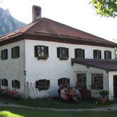
Propstei Petersberg
2 km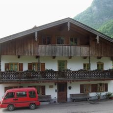
Ehem. Bauernhaus
2.6 km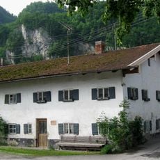
Bauernhaus
2.7 km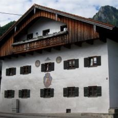
Kufsteiner Straße 14
2.7 km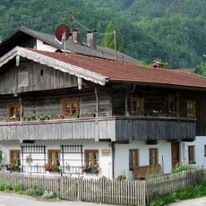
Ehem. Kleinbauernhaus
2.7 km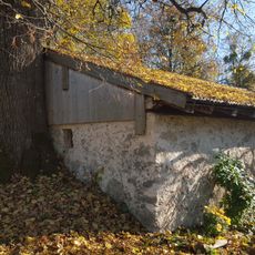
Brechstuben in Brannenburg
2.5 km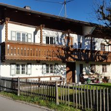
Milbinger Straße 41
2.6 km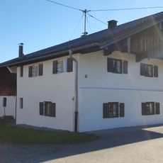
Milbinger Straße 43 (Milbing)
2.6 km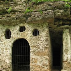
Biberklause
2.7 km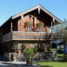
Biberstraße 51
2.4 kmReviews
Visited this place? Tap the stars to rate it and share your experience / photos with the community! Try now! You can cancel it anytime.
Discover hidden gems everywhere you go!
From secret cafés to breathtaking viewpoints, skip the crowded tourist spots and find places that match your style. Our app makes it easy with voice search, smart filtering, route optimization, and insider tips from travelers worldwide. Download now for the complete mobile experience.

A unique approach to discovering new places❞
— Le Figaro
All the places worth exploring❞
— France Info
A tailor-made excursion in just a few clicks❞
— 20 Minutes