
Bundwerkstadel, satteldachbau mit integriertem Getreidekasten in Blockbauweise, bezeichnet mit „1795“, 1988 aus Hebertsham, Gemeinde Eiselfing, hierher transferiert, westlicher Teil modern
Location: Amerang
Address: Englstetten 13
GPS coordinates: 48.03077,12.29544
Latest update: March 10, 2025 12:45
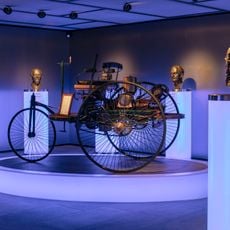
EFA-Museum für Deutsche Automobilgeschichte
4 km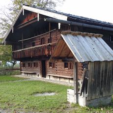
Bauernhausmuseum Amerang des Bezirks Oberbayern
3.2 km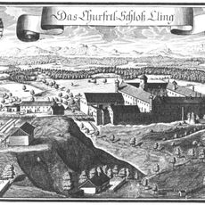
Schloss Kling
5.2 km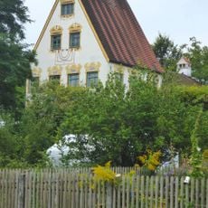
Schloss Weikertsham
5 km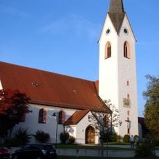
St. Rupertus
4.4 km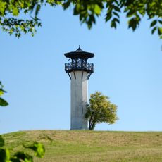
Observation tower Wasserburg
5.2 km
Burgstall Achatzberg
5.3 km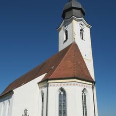
St. Rupertus (Eiselfing)
4 km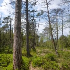
Murner Filz
2.7 km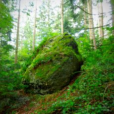
Bräundlstein
2.9 km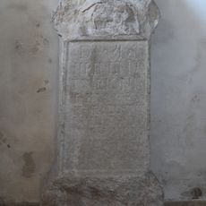
Römischer Grabaltar (Eiselfing)
4 km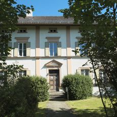
Pfarrhaus
4 km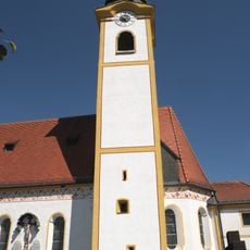
St. Peter
840 m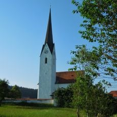
Katholische Filialkirche St. Bartholomäus
3.3 km
Lourdeskapelle Kling
5.3 km
Halfinger Freimoos
5.3 km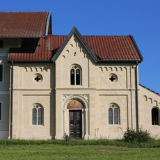
Straß 1
4.1 km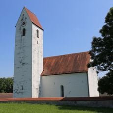
Hl. Kreuz
4.8 km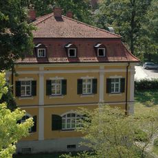
Salzburger Straße 13
5.5 km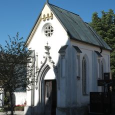
Friedhofskapelle Am Pfarrstadl 4 in Eiselfing
4.1 km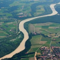
Innauen und Leitenwälder
4.1 km
Parallelhof Kling
5.3 km
Murner Filz
2.6 km
Denkmal der Kurfürstin Maria Leopoldine von Bayern
5.4 km
Chiemgaustraße 39
846 m
Forsthaus Kling
5.3 km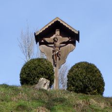
Kreuzgruppe
5.3 km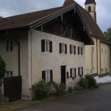
Achatzstraße 8
5.5 kmReviews
Visited this place? Tap the stars to rate it and share your experience / photos with the community! Try now! You can cancel it anytime.
Discover hidden gems everywhere you go!
From secret cafés to breathtaking viewpoints, skip the crowded tourist spots and find places that match your style. Our app makes it easy with voice search, smart filtering, route optimization, and insider tips from travelers worldwide. Download now for the complete mobile experience.

A unique approach to discovering new places❞
— Le Figaro
All the places worth exploring❞
— France Info
A tailor-made excursion in just a few clicks❞
— 20 Minutes