
Alm, sog. Christophalm, massivbau mit Satteldach und Rundbogenöffnungen, ca. 1750
Location: Oberaudorf
Address: Schönaualm
GPS coordinates: 47.66315,12.04805
Latest update: April 11, 2025 09:26
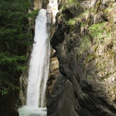
Wasserfall Tatzelwurm
2.8 km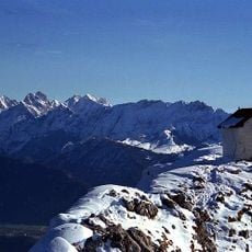
Brünnstein
4.1 km
Sudelfeld hill Pass road
2 km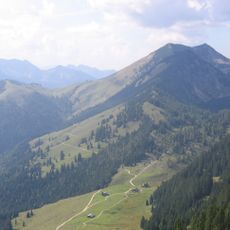
Großer Traithen
2 km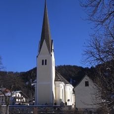
St. Margareth
2.7 km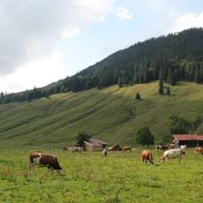
Jackelberg
3.7 km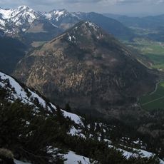
Seebergkopf
3.8 km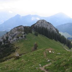
Kaserwand
4.3 km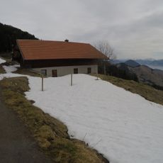
Lacheralm
3.8 km
Dümpfel
3.5 km
Himmelmoosalm
3.3 km
Larcheralm
2.3 km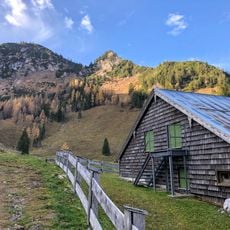
Rosengassenalm
870 m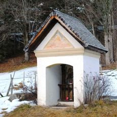
Hofkapelle, sogenannte Mainwolfkapelle
4.2 km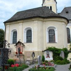
Friedhofskapelle
2.7 km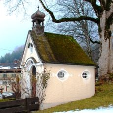
Rosenkranzkapelle
2.6 km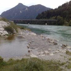
Schutz des Auerbachtales einschl. Regau (am Förchenbach) und Bichlersee, Gemeinden Niederaudorf, Oberaudorf, Flintsbach und Kiefersfelden
3.3 km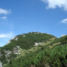
Inschutznahme von Landschaftsteilen des erweiterten Soinkargebietes in den Gemeinden Brannenburg, Flintsbach am Inn und Oberaudorf
4 km
Bayrischzell station reception building
3 km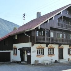
Landhaus, sog. Haus Thier
2.4 km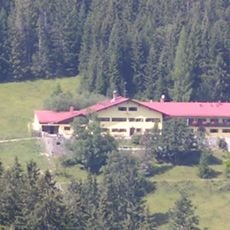
Jugendherberge Bayrischzell-Sudelfeld
2.4 km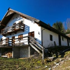
Alm, sog. Aggeralm
1 km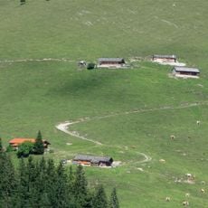
Steilenalm
2.8 km
Alm, sog. Obere Aggeralm
983 m
Sudelfeldstraße 3
2.8 km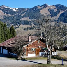
Vorderseebacheralm
1.4 km
Kleiner Traithen
1.3 km
Alm
3.6 kmReviews
Visited this place? Tap the stars to rate it and share your experience / photos with the community! Try now! You can cancel it anytime.
Discover hidden gems everywhere you go!
From secret cafés to breathtaking viewpoints, skip the crowded tourist spots and find places that match your style. Our app makes it easy with voice search, smart filtering, route optimization, and insider tips from travelers worldwide. Download now for the complete mobile experience.

A unique approach to discovering new places❞
— Le Figaro
All the places worth exploring❞
— France Info
A tailor-made excursion in just a few clicks❞
— 20 Minutes