
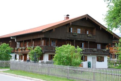
Ehemals Bauernhaus, building in Waakirchen, Upper Bavaria, Germany
Location: Waakirchen
Address: Bürgermeister-Erl-Straße 3
GPS coordinates: 47.79023,11.68813
Latest update: March 10, 2025 04:40
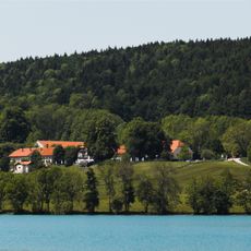
Gut Kaltenbrunn
5.7 km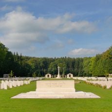
Durnbach War Cemetery
3.6 km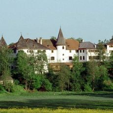
Schloss Reichersbeuern
5.3 km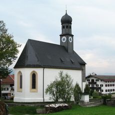
Heilig-Kreuz-Kirche
141 m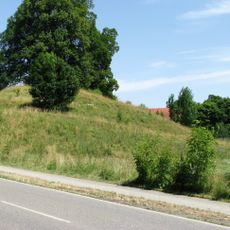
Burg Ebertshausen
5.7 km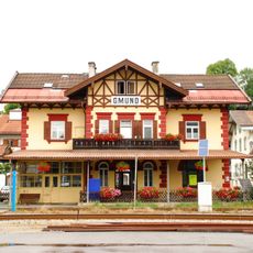
Gmund station
5.7 km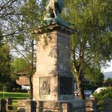
Oberländerdenkmal
2.4 km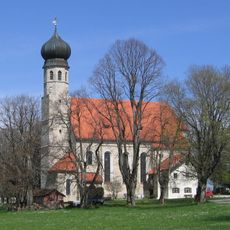
Wallfahrtskirche Allerheiligen
4.4 km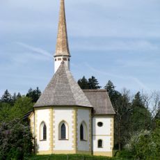
St. Georg (Georgenried)
4.1 km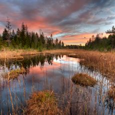
Kaltenbachquelle im Kirchsee-Filz
5.4 km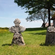
Timotheuskreuz
3.6 km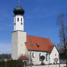
St. Jakobus der Ältere (Piesenkam)
3 km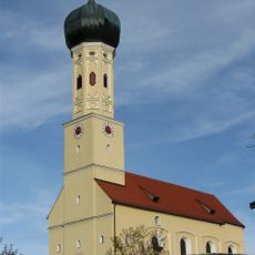
St. Martin (Waakirchen)
2.3 km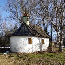
Ortskapelle Sankt Magnus
1.9 km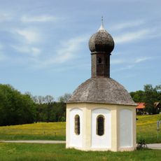
Kapelle Sankt Sylvester, sog. Freikirchl
780 m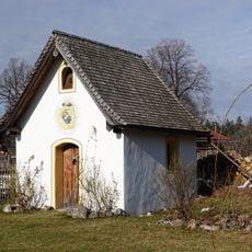
Hofkapelle Sankt Maria, sog. Hofmoarkapelle
2.4 km
Schutz der Egartenlandschaft um Miesbach
5.1 km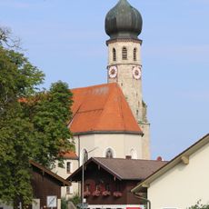
St. Johannes der Täufer
5.2 km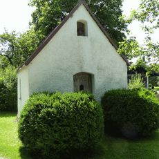
Kapelle
4.1 km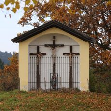
Bildstock bei Kloster Reutberg
4.7 km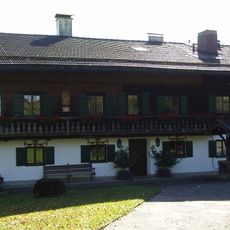
Bauernhaus Baier
5.8 km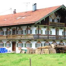
Alex-Gugler-Straße 27
300 m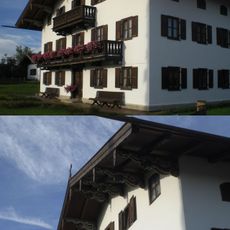
Alex-Gugler-Straße 52
215 m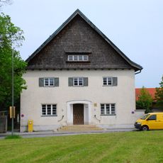
Postamt Schaftlach
488 m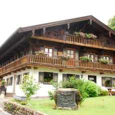
Feichtner Hof
5 km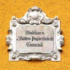
Haustafel
5.6 km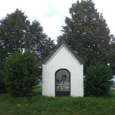
Wegkapelle
4.8 km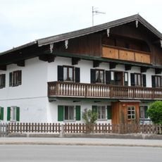
Ehemals Bauernhaus
169 mReviews
Visited this place? Tap the stars to rate it and share your experience / photos with the community! Try now! You can cancel it anytime.
Discover hidden gems everywhere you go!
From secret cafés to breathtaking viewpoints, skip the crowded tourist spots and find places that match your style. Our app makes it easy with voice search, smart filtering, route optimization, and insider tips from travelers worldwide. Download now for the complete mobile experience.

A unique approach to discovering new places❞
— Le Figaro
All the places worth exploring❞
— France Info
A tailor-made excursion in just a few clicks❞
— 20 Minutes