
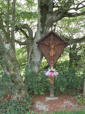
Kruzifix, unterrammingen; 2. Hälfte 18. Jahrhundert; nordwestlich des Ortes an der Straße nach Mattsies
Location: Bavaria
Address: Nähe Grottenweg
GPS coordinates: 48.07243,10.57586
Latest update: March 3, 2025 02:29
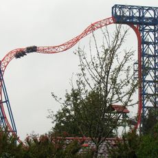
Sky Wheel
3.3 km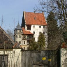
Schloss Mattsies
2 km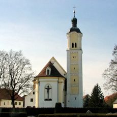
St. Magnus
511 m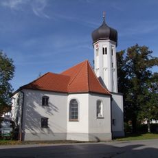
Unserer Lieben Frau (Oberrammingen)
1.7 km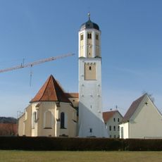
Mariä Himmelfahrt (Mattsies)
2.7 km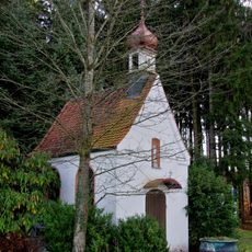
St. Anna im Höselwang
3.3 km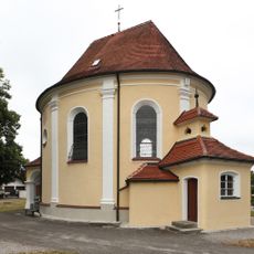
Unserer Lieben Frau (Tussenhausen)
3.3 km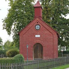
Lourdes chapel
368 m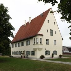
Pfarrhaus
2.6 km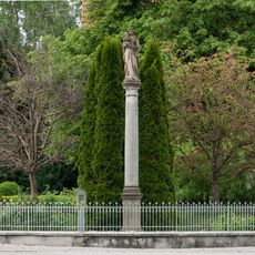
Mariensäule
608 m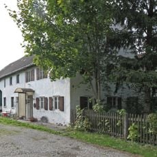
Ehemaliges Bauernhaus
1.4 km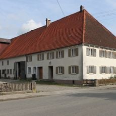
Bauernhaus
549 m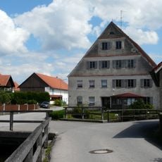
Mühle
3.3 km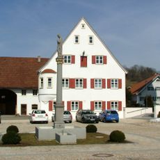
Gasthaus zum Adler
3.5 km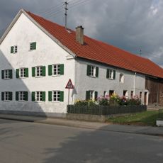
Ehemaliger Zehentstadel
574 m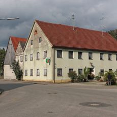
Ehemaliger Gasthof Adler
449 m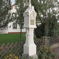
Bildstock
1.9 km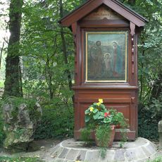
Bildstock
2 km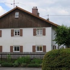
Ehemaliges Bauernhaus
667 m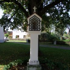
Bildstock
1.7 km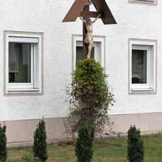
Kreuz
3.5 km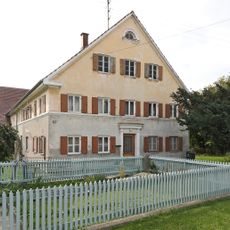
Bauernhaus
1.4 km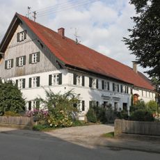
Bauernhaus
405 m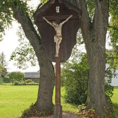
Kruzifix
761 m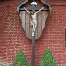
Kruzifix
371 m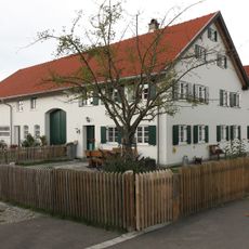
Bauernhaus
2.1 km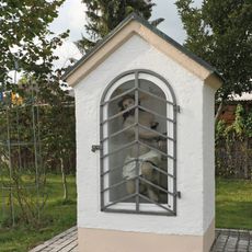
Bildstock
1.1 km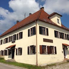
Wohnhaus
3.4 kmReviews
Visited this place? Tap the stars to rate it and share your experience / photos with the community! Try now! You can cancel it anytime.
Discover hidden gems everywhere you go!
From secret cafés to breathtaking viewpoints, skip the crowded tourist spots and find places that match your style. Our app makes it easy with voice search, smart filtering, route optimization, and insider tips from travelers worldwide. Download now for the complete mobile experience.

A unique approach to discovering new places❞
— Le Figaro
All the places worth exploring❞
— France Info
A tailor-made excursion in just a few clicks❞
— 20 Minutes