
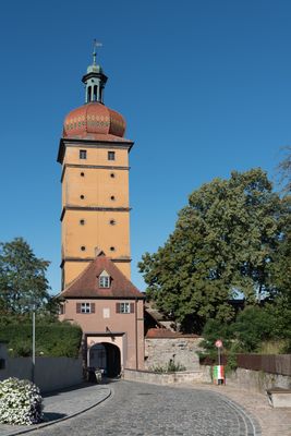
Segringer Tor, westliches Stadttor, fünfgeschossiger verputzter Torturm mit Gesimsgliederung, Zwiebelhaube und Laterne, neu erbaut von Antonio Don 1655–1660, Zwiebelhaube mit Laterne 1749, an der nördlich anschließenden Mauer Steintreppe 19. Jahrhundert, felds
Location: Dinkelsbühl
Address: Segringer Straße 58 a
GPS coordinates: 49.06860,10.31394
Latest update: March 24, 2025 16:03
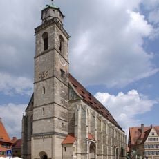
Münster St. Georg Dinkelsbühl
367 m
Patrizierhaus
354 m
Landestheater Dinkelsbühl
436 m
St. Paul
468 m
Vierflügelanlage
380 m
Spitalkirche
436 m
Kapuzinerkloster Dinkelsbühl
194 m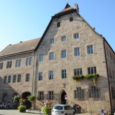
Altes Rathaus Dinkelsbühl
512 m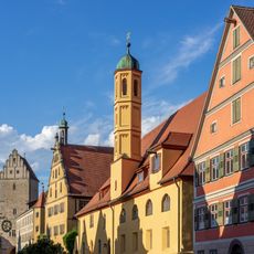
Heilig-Geist-Spital
448 m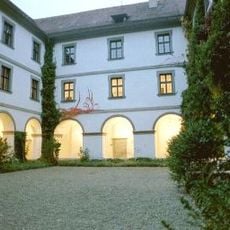
Karmelitenkloster Dinkelsbühl
467 m
Steingasse 12
237 m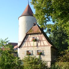
Dr.-Martin-Luther-Straße 29
444 m
Gymnasium Dinkelsbühl
457 m
Brücke Mühlgraben in Dinkelsbühl
576 m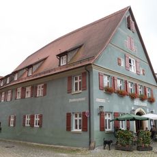
Wappen
289 m
Dr.-Martin-Luther-Straße 6a
449 m
Oberer Mauerweg 30
520 m
Oberer Mauerweg 12
54 m
Kapuzinerweg 1
86 m
Rothenburger Tor
499 m
Spitalbastei
377 m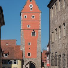
Wörnitztor
559 m
Kornhaus Dinkelsbühl
359 m
Gasthaus
421 m
Oberer Mauerweg 26
405 m
Oberer Mauerweg 20
258 m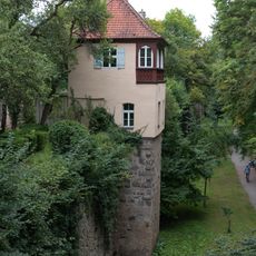
Oberer Mauerweg 16 (Dinkelsbühl)
161 m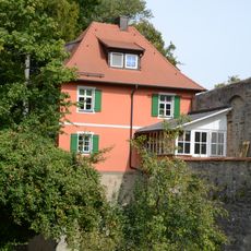
Kapuzinerweg 5
225 mReviews
Visited this place? Tap the stars to rate it and share your experience / photos with the community! Try now! You can cancel it anytime.
Discover hidden gems everywhere you go!
From secret cafés to breathtaking viewpoints, skip the crowded tourist spots and find places that match your style. Our app makes it easy with voice search, smart filtering, route optimization, and insider tips from travelers worldwide. Download now for the complete mobile experience.

A unique approach to discovering new places❞
— Le Figaro
All the places worth exploring❞
— France Info
A tailor-made excursion in just a few clicks❞
— 20 Minutes