
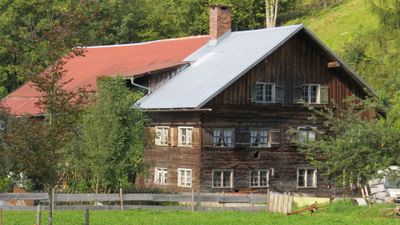
Bauernhaus, building in Oberstdorf, Swabia, Germany
Location: Oberstdorf
Address: Dietersberg 2
GPS coordinates: 47.37914,10.29807
Latest update: March 3, 2025 03:01
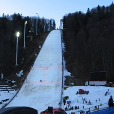
Heini Klopfer Ski Jump
2.2 km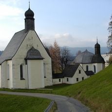
Maria Loreto ensemble
2.3 km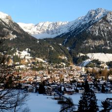
Schattenberg
2.5 km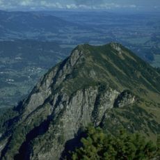
Himmelschrofen
2.2 km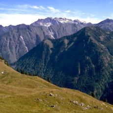
Hahnenkopf
2 km
Riffenkopf
1.5 km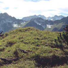
Älpeleskopf
1.2 km
Klupper
2.7 km
Vorderer Riffenkopf
983 m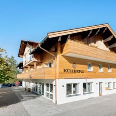
Kühberg
2.6 km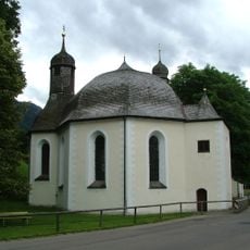
Maria Loreto chapel
2.3 km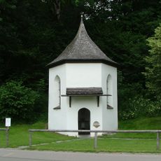
Appachkapelle
2.4 km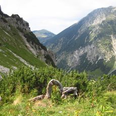
Schutz von Landschaftsteilen im Bereich der Allgäuer Hochalpenkette mit Einschluß der Oberstdorfer Täler und des Hintersteiner Tales im Landkreis Oberallgäu
2 km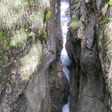
Hölltobel W von Gerstruben
1.4 km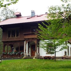
Ehemalige Villa Probst
2.4 km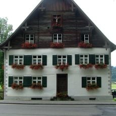
Lorettostraße 40
2.4 km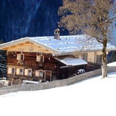
Ehemaliges Bauernhaus
1.6 km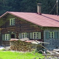
Bauernhaus
2.4 km
Karstquellen im Christlessee SSE von Oberstdorf
1.6 km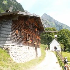
Ehemaliges Bauernhaus
1.6 km
Allgäuer Hochalpen
2.2 km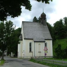
St. Joseph
2.3 km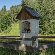
Bildstock
1.1 km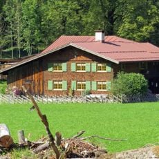
Ehemaliges Bauernhaus
2.2 km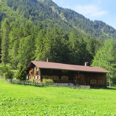
Ehemaliges Bauernhaus
2 km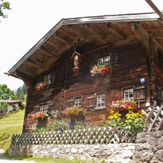
Ehemaliges Bauernhaus
1.6 km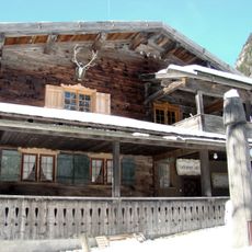
Ehemaliges Bauernhaus
1.6 km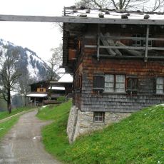
Ensemble Weiler Gerstruben
1.5 kmReviews
Visited this place? Tap the stars to rate it and share your experience / photos with the community! Try now! You can cancel it anytime.
Discover hidden gems everywhere you go!
From secret cafés to breathtaking viewpoints, skip the crowded tourist spots and find places that match your style. Our app makes it easy with voice search, smart filtering, route optimization, and insider tips from travelers worldwide. Download now for the complete mobile experience.

A unique approach to discovering new places❞
— Le Figaro
All the places worth exploring❞
— France Info
A tailor-made excursion in just a few clicks❞
— 20 Minutes