
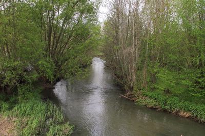
Taubergrund Weikersheim - Niederstetten, protected area in the European Union defined by the habitats directive in Baden-Württemberg, Germany
Location: Weikersheim
Location: Niederstetten
Location: Bad Mergentheim
Location: Schrozberg
Inception: 2004
GPS coordinates: 49.42379,9.92850
Latest update: March 2, 2025 23:29

Schloss Haltenbergstetten
2.8 km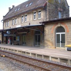
Bahnhof Niederstetten
2.5 km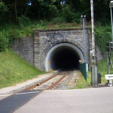
Niederstettener Tunnel
3.2 km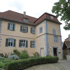
Schlösschen Pfitzingen
2.7 km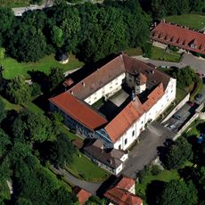
Haltenbergstetten
3 km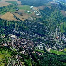
Wildentierbacher Berg
3 km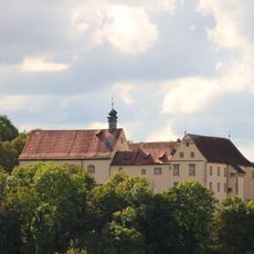
Maria Immaculata
3 km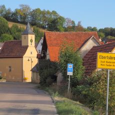
Ebertsbronn
1.8 km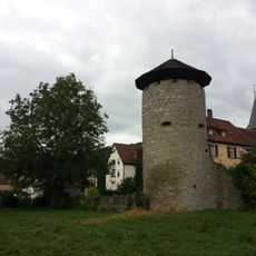
City fortifications of Niederstetten
2.7 km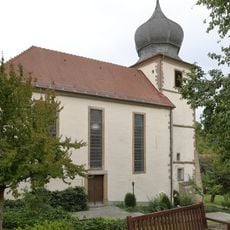
Petruskirche Wermutshausen
1.6 km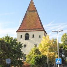
Evangelische Pfarrkirche Vorbachzimmern
734 m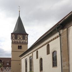
St. Jakob
2.6 km
Friedhof Laudenbach
3.3 km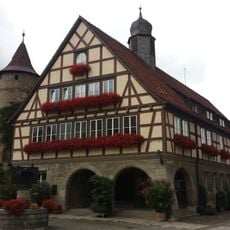
Rathaus
2.6 km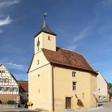
Kapelle Ebertsbronn
1.8 km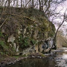
Felspartie Burgwiesen
3.2 km
Eiche Bronner Hölzle
3 km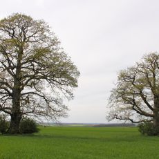
Vorderer Hohenbusch
2.1 km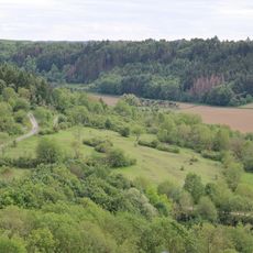
Magerweide Ameisloh I
2.9 km
Hauptsandsteinbruch Obere Sandäcker
2.6 km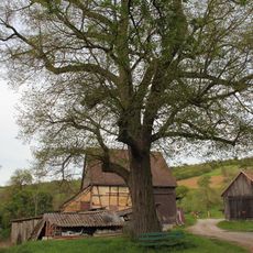
Winterlinde Kleewiesen
2.1 km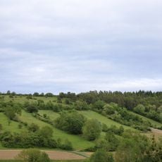
Halbtrockenrasen Ameisloh II
2.4 km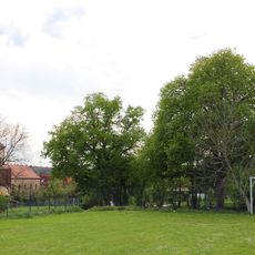
Sommerlinden Grünäcker
2.6 km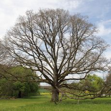
Heller Graben
3.1 km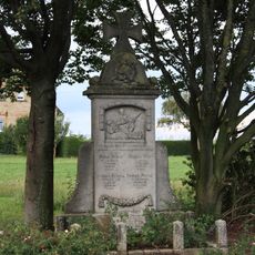
Kriegerdenkmal
3.1 km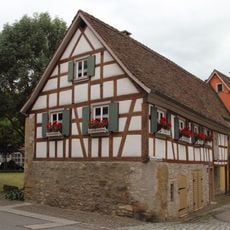
Torhaus
2.8 km
Sühnekreuz Niederstetten VII
2.5 km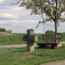
Sühnekreuz Niederstetten VI
2 kmVisited this place? Tap the stars to rate it and share your experience / photos with the community! Try now! You can cancel it anytime.
Discover hidden gems everywhere you go!
From secret cafés to breathtaking viewpoints, skip the crowded tourist spots and find places that match your style. Our app makes it easy with voice search, smart filtering, route optimization, and insider tips from travelers worldwide. Download now for the complete mobile experience.

A unique approach to discovering new places❞
— Le Figaro
All the places worth exploring❞
— France Info
A tailor-made excursion in just a few clicks❞
— 20 Minutes