
Steinbruch „Kohle IV“, former nature reserve in Germany
Location: Geseke
Inception: 1991
GPS coordinates: 51.62610,8.51145
Latest update: April 16, 2025 23:22
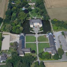
Schloss Schwarzenraben
7.1 km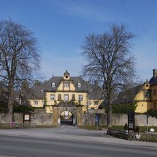
Schloss Eringerfeld
5.2 km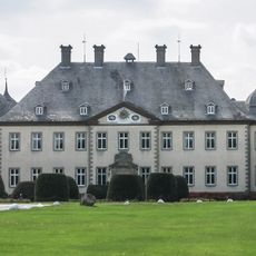
Schloss Erpernburg
7.1 km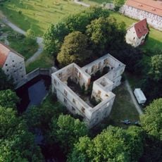
Schloss Störmede
3.3 km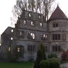
Vernaburg
7.8 km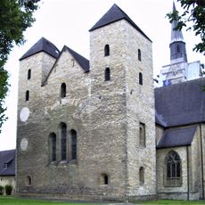
Frauenstift Geseke
1.5 km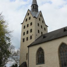
St. Cyriakus (Geseke)
1.5 km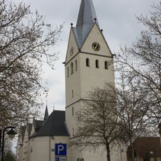
St. Petri
1.7 km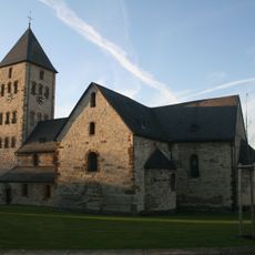
Saint Kilian Church (Brenken)
7.3 km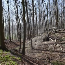
Hünenburg auf dem Hahnenberg
7.2 km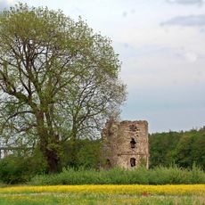
Niederburg
7.3 km
Hochwasserrückhaltebecken Eringerfeld
4.1 km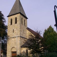
St. Petrus
7 km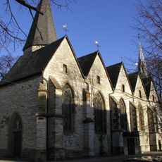
St. Bartholomäus (Verne)
7.4 km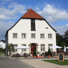
Haus Thoholte
1.8 km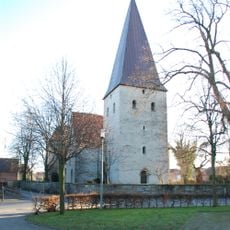
St. Vitus
6.7 km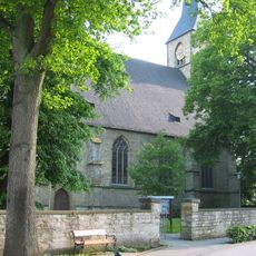
St. Pankratius
3.2 km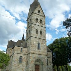
Saint John the Baptist Church
8 km
Stockheimer Bruch
4.1 km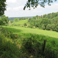
LSG Fließgewässer, Auen und kleine Täler
7 km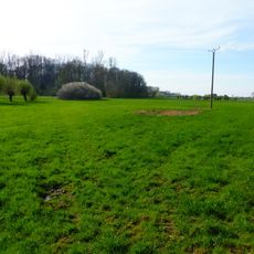
Osternheuland - In den Erlen
6.4 km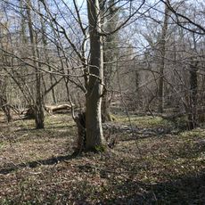
Ochsenholz
2.4 km
Kapelle Heiliges Kreuz
7.4 km
Quellgebiet der Gieseler
8.1 km
Rabbruch und Osternheuland
6.7 km
Lippeniederung VI – Mantinghausen
7.9 km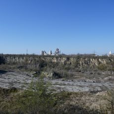
Steinbrüche Gröne
669 m
Sültsoid
7.7 kmReviews
Visited this place? Tap the stars to rate it and share your experience / photos with the community! Try now! You can cancel it anytime.
Discover hidden gems everywhere you go!
From secret cafés to breathtaking viewpoints, skip the crowded tourist spots and find places that match your style. Our app makes it easy with voice search, smart filtering, route optimization, and insider tips from travelers worldwide. Download now for the complete mobile experience.

A unique approach to discovering new places❞
— Le Figaro
All the places worth exploring❞
— France Info
A tailor-made excursion in just a few clicks❞
— 20 Minutes