
Opferwanne bei Karches, Felsblock im Landkreis Bayreuth in Bayern
Location: Bischofsgrüner Forst
Elevation above the sea: 745 m
Length: 3 m
Width: 2 m
Website: http://www.umweltatlas.bayern.de/mapapps/resources/reports/geotope/generateBericht.pdf?additionallayerfieldvalue=472R006
GPS coordinates: 50.04537,11.83455
Latest update: April 24, 2025 09:54
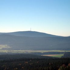
Ochsenkopf
2.4 km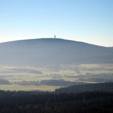
Schneeberg
1.6 km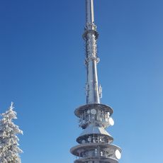
Ochsenkopf Transmitter
2.5 km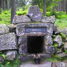
White Main Spring
1.9 km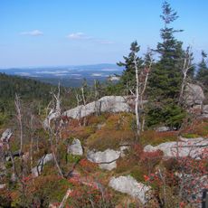
Nußhardt
2.2 km
Seilbahn Ochsenkopf-Nord
1.8 km
Backöfele
1.6 km
Drei Brüder von Weißenhaid
3.8 km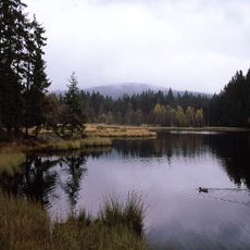
Naturwaldreservat Fichtelseemoor
3.8 km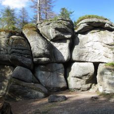
Weißmainfelsen
1.9 km
Haberstein
706 m
Seehügel
3.3 km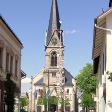
St. Matthew (Bischofsgrün)
2.9 km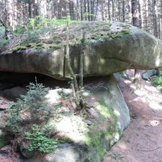
Ahornfels
3.2 km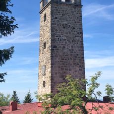
Asenturm
2.4 km
Haberstein
695 m
Jean-Paul-Brunnen
2.9 km
Schneeberggipfel
1.6 km
Nußhardt
2.2 km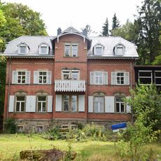
Vorstadtvilla
2.7 km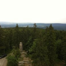
Station 28 Ochsenkopf
2.4 km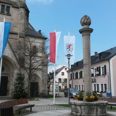
Kriegerdenkmal
2.9 km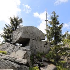
Goethefelsen am Ochsenkopf
2.4 km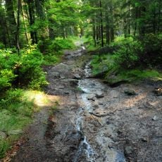
Fichtelseemoor
3.5 km
Pfarrhaus
2.9 km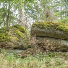
Brand- und Feuerherd-Felsen NNW von Neubau
2.1 km
Nußhardt-Gipfel SE von Bischofsgrün
2.2 km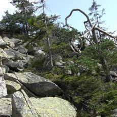
Haberstein am Schneeberg E von Bischofsgrün
673 mReviews
Visited this place? Tap the stars to rate it and share your experience / photos with the community! Try now! You can cancel it anytime.
Discover hidden gems everywhere you go!
From secret cafés to breathtaking viewpoints, skip the crowded tourist spots and find places that match your style. Our app makes it easy with voice search, smart filtering, route optimization, and insider tips from travelers worldwide. Download now for the complete mobile experience.

A unique approach to discovering new places❞
— Le Figaro
All the places worth exploring❞
— France Info
A tailor-made excursion in just a few clicks❞
— 20 Minutes