
Steinbruch nordöstlich von Happurg, Quarry in Germany
Location: Happurg
Elevation above the sea: 490 m
Length: 100 m
Width: 40 m
Website: http://www.umweltatlas.bayern.de/mapapps/resources/reports/geotope/generateBericht.pdf?additionallayerfieldvalue=574A009
GPS coordinates: 49.49510,11.47956
Latest update: March 13, 2025 21:26

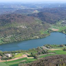
Happurger See
2.3 km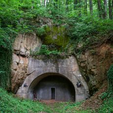
Doggerwerk in Happurg
634 m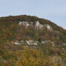
Houbirg
949 m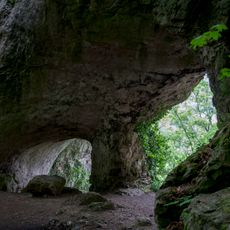
Hohler Fels
1.5 km
Burgruine Lichtenstein in Pommelsbrunn
2 km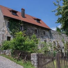
Burgruine in Happurg
2.3 km
Burgstall Hacburg
369 m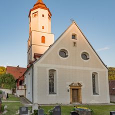
Evang.-Luth. Pfarrkirche St. Lorenz in Pommelsbrunn
2.5 km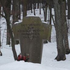
KZ-Mahnmal bei Förrenbach
1.9 km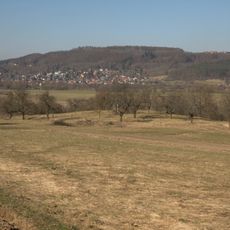
Turmhügel Hundsdruck
1.5 km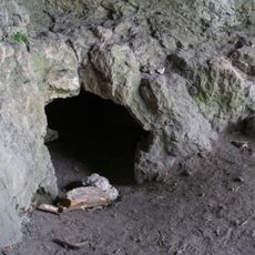
Cultural heritage D-5-6534-0014 Happurg
1.5 km
Denkmal Schleußberg (D-5-74-147-11#1)
2.1 km
Mühle in Pommelsbrunn
2.5 km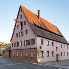
Ehem. Wohnstallhaus in Pommelsbrunn
2.5 km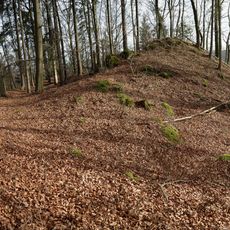
Abschnittsbefestigung in Pommelsbrunn
2.4 km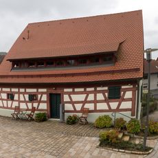
Ehem. Badhaus in Pommelsbrunn
2.6 km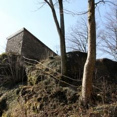
Cultural heritage D-5-6435-0009 in Pommelsbrunn
2 km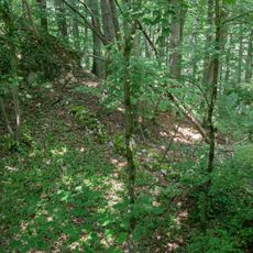
Cultural heritage D-5-6534-0025 in Happurg
2.3 km
Mühle in Pommelsbrunn
1.5 km
Mittlelalterliche Befunde in Pommelsbrunn
2.6 km
Cultural heritage D-5-6534-0166 in Happurg
630 m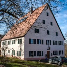
Bauernhof, Wohnstallhaus in Pommelsbrunn
1.5 km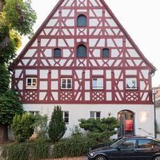
Ehem. Richterhaus in Pommelsbrunn
2.5 km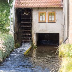
Mühlgraben Arzloher Straße 7 (D-5-74-147-1#1)
2.5 km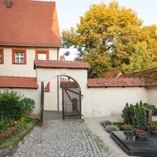
Friedhofsmauer Kirchplatz 5 (D-5-74-147-8#1)
2.5 km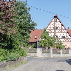
Sandweg 14
2.6 km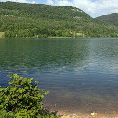
Stausee
1.4 km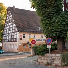
Gasthaus in Pommelsbrunn
2.5 kmReviews
Visited this place? Tap the stars to rate it and share your experience / photos with the community! Try now! You can cancel it anytime.
Discover hidden gems everywhere you go!
From secret cafés to breathtaking viewpoints, skip the crowded tourist spots and find places that match your style. Our app makes it easy with voice search, smart filtering, route optimization, and insider tips from travelers worldwide. Download now for the complete mobile experience.

A unique approach to discovering new places❞
— Le Figaro
All the places worth exploring❞
— France Info
A tailor-made excursion in just a few clicks❞
— 20 Minutes