
Aufgelassener Steinbruch Schärfen, Geotop in Landkreis Miesbach in Bavaria, Germany
Location: Kreuth
Elevation above the sea: 800 m
Length: 180 m
Width: 40 m
Website: http://www.umweltatlas.bayern.de/mapapps/resources/reports/geotope/generateBericht.pdf?additionallayerfieldvalue=182A009
GPS coordinates: 47.67005,11.74459
Latest update: March 20, 2025 06:48
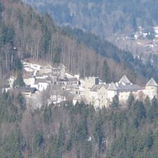
Schloss Ringberg
2.2 km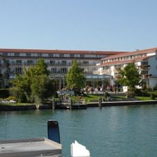
Seehotel Überfahrt
3.2 km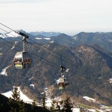
Wallbergbahn
2.5 km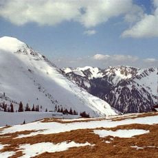
Hirschberg
3.8 km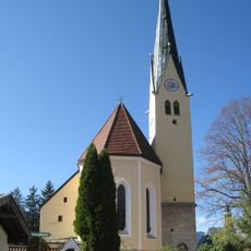
Saint Lawrence church in Rottach-Egern
3.1 km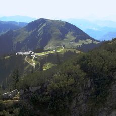
Setzberg
3.7 km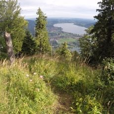
Ringspitz
1.7 km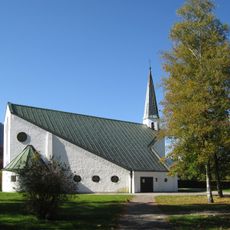
Auferstehungskirche
2.9 km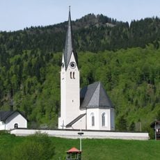
St. Leonhard (Kreuth)
2.8 km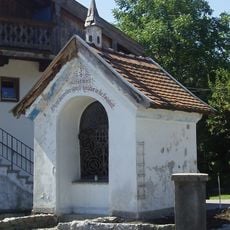
Sappl Kapelle (Bad Wiessee)
3.8 km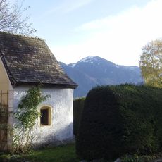
Friedlkapelle
3.6 km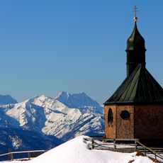
Bergkapelle Heiliges Kreuz
3.6 km
Kapelle, sogenannte Prinzenkapelle
3.8 km
Hofkapelle
2.4 km
Seestraße 27
3.2 km
Bayerisches Forstamt Kreuth
2.9 km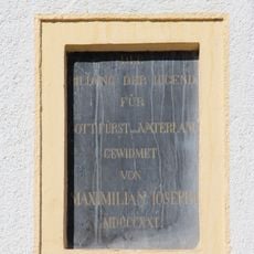
Inschriftentafel
3.2 km
Ehemals Einfirsthof
3.3 km
Abwinkler Hof
3.7 km
Ehemals Bauernhaus
2.5 km
Ehemals Austragshaus
3 km
Landhaus
3.8 km
Ehemals Landhaus, Sommerhaus des Hofmalers Joseph Karl Stieler
3.8 km
Villa, sogenanntes Seeschlössl
3.8 km
Einfirsthof
3.4 km
Ehemals Einfirsthof
3.3 km
Budererhof
3.7 km
Pfarrhof
3.2 kmReviews
Visited this place? Tap the stars to rate it and share your experience / photos with the community! Try now! You can cancel it anytime.
Discover hidden gems everywhere you go!
From secret cafés to breathtaking viewpoints, skip the crowded tourist spots and find places that match your style. Our app makes it easy with voice search, smart filtering, route optimization, and insider tips from travelers worldwide. Download now for the complete mobile experience.

A unique approach to discovering new places❞
— Le Figaro
All the places worth exploring❞
— France Info
A tailor-made excursion in just a few clicks❞
— 20 Minutes