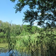
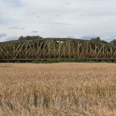
Waldhügel, Nature reserve in Rheine, Germany
Waldhügel is a ridge south of Rheine's centre, running west from the Ems and merging into the Thieberg. Its highest point, at 94 m above sea level, holds the city's drinking-water tank. The ridge is made of limestone long quarried in stone pits, some later filled with building rubble; the disused quarries now form part of the 50.84-hectare nature reserve designated in 1994.
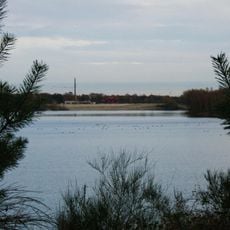
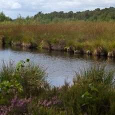
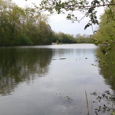
The limestone layers formed approximately 100 million years ago from marine deposits of the Cretaceous period. In the 20th century, quarrying operations reshaped the land, creating the lakes and terrain visible today.
Local volunteers organize guided walks and educational programs to help visitors understand the natural features and habitats of this protected area. These activities connect people with the reserve's ecology and conservation efforts.
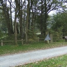
Several walking paths provide access to different sections of the reserve, with entry points distributed throughout the area. Wear sturdy shoes since trails cross uneven terrain and pass near water bodies.
The reserve supports over 900 plant species, with some thriving only on the exposed limestone surfaces and restored mining platforms scattered across the land. Many of these species found refuge on the steep slopes created by past quarrying activities.
The community of curious travelers
AroundUs brings together thousands of curated places, local tips, and hidden gems, enriched daily by 93,790 contributors worldwide.