
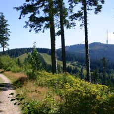
Schwarzwald-Westrand bei Achern, protected area in the European Union defined by the habitats directive in Baden-Württemberg, Germany
Location: Seebach
Location: Ottenhöfen im Schwarzwald
Location: Kappelrodeck
Location: Achern
Location: Sasbach
Location: Sasbachwalden
Location: Lauf
Inception: 2004
GPS coordinates: 48.61038,8.14260
Latest update: March 3, 2025 03:43
Hornisgrinde
4.4 km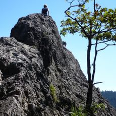
Karlsruher Grat
6.3 km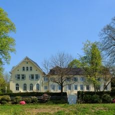
Schloss Aubach
3.5 km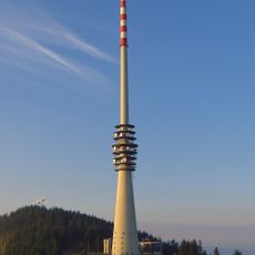
Hornisgrinde transmitter
4.4 km
Burg Neu-Windeck
3.7 km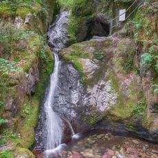
Edelfrauengrab waterfall
6.2 km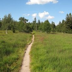
Hochkopf
5.6 km
Burg Hoherod
734 m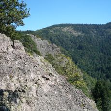
Gottschlägtal - Karlsruher Grat
6.4 km
Unterstmatt
5.2 km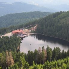
Kunstpfad am Mummelsee
4.6 km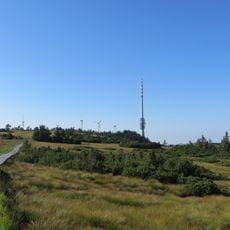
Hornisgrinde-Biberkessel
4.7 km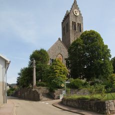
Saint Charles Borromeo Church (Neusatz, Bühl)
5.4 km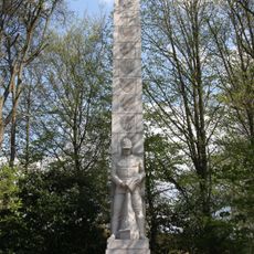
Landes-Feuerwehr-Ehrenmal Baden-Württemberg
6.4 km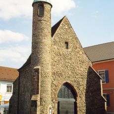
Nikolauskapelle
5.8 km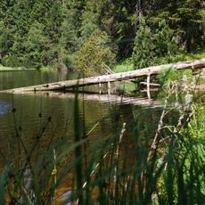
Wilder See - Hornisgrinde
5.7 km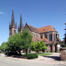
St. Johannes
6.8 km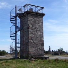
Bismarck Tower (Sasbach)
4.4 km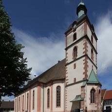
St. Brigitta (Sasbach)
4.9 km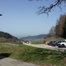
Immenstein
6.9 km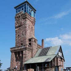
Hornisgrinde Tower
4.4 km
Oberes Achertal
4.8 km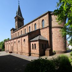
St. Leonhard (Lauf)
4.3 km
Erlenbad (Sasbach)
3.9 km
St. Stefan (Oberachern)
4.3 km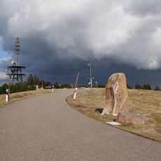
Kleine Grinde
4.5 km
Hundsrücken
5.6 km
St. Michaelskapelle
4.7 kmReviews
Visited this place? Tap the stars to rate it and share your experience / photos with the community! Try now! You can cancel it anytime.
Discover hidden gems everywhere you go!
From secret cafés to breathtaking viewpoints, skip the crowded tourist spots and find places that match your style. Our app makes it easy with voice search, smart filtering, route optimization, and insider tips from travelers worldwide. Download now for the complete mobile experience.

A unique approach to discovering new places❞
— Le Figaro
All the places worth exploring❞
— France Info
A tailor-made excursion in just a few clicks❞
— 20 Minutes