Kalkklippen der Gobert, Nature conservation area in Bad Sooden-Allendorf and Meinhard, Germany
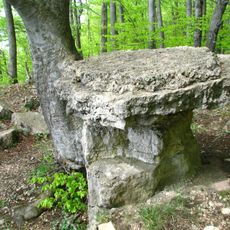
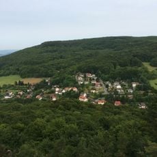
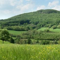
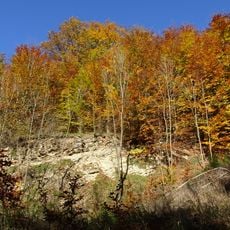
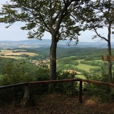
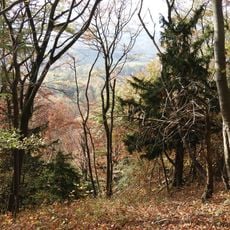
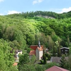
Kalkklippen der Gobert is a Natura 2000 site on the Hessian side of the Gobert ridge, made up of the nature reserves Hessische Schweiz bei Meinhard and Kalkklippen südlich des Iberges. It covers limestone slopes and a large deciduous forest, with elevations including the Hohestein at 569 m, the Hörne at 522.7 m, the Hohe Bahn at 509.6 m and the Uhlenkopf at about 520 m. Rock faces stand at the Salzfrau, Pferdeloch, Wolfstisch, Weißen Graben, Schönen Aussicht and Hörne.
People lived on the Gobert plateau from about 800 BCE to the turn of the era, leaving the Brandwall on the Hohestein: a rampart some 650 m long, up to 10 m wide and 3 m high, fronted by a double ditch. A burnt clay layer on its top suggests the earth-and-timber fortification was destroyed by fire. From 1989 most of the forest was withdrawn from forestry use.
The two reserves, Hessische Schweiz bei Meinhard and Kalkklippen südlich des Iberges, were reported by the state of Hesse in 1999 for the Europe-wide Natura 2000 network. The name Gobert refers to the limestone plateau on the Hesse-Thuringia border. Small evergreen (Vinca minor), introduced by the Romans, still marks former castle and settlement sites on the plateau.
The area can be explored on marked hiking trails including the Rheanuspfad and old border routes with good viewpoints. Conditions are best during drier months when the paths are easiest to walk.
Rare orchid species have flourished in the old forest areas since border controls ended, benefiting from decades of undisturbed growth. These plants are often hidden in shaded woodland areas and surprise many visitors when discovered.
The community of curious travelers
AroundUs brings together thousands of curated places, local tips, and hidden gems, enriched daily by 93,596 contributors worldwide.