
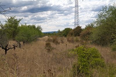
Dünen- und Sandgebiet Mainz-Ingelheim, special protection areas in Rheinland-Pfalz, Germany
Location: Mainz
Location: Budenheim
Location: Ingelheim am Rhein
Location: Gau-Algesheim
Inception: 2006
GPS coordinates: 49.99135,8.13627
Latest update: April 2, 2025 16:32
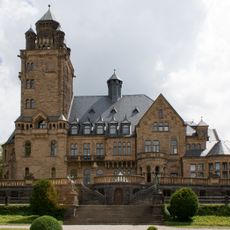
Schloss Waldthausen
3.3 km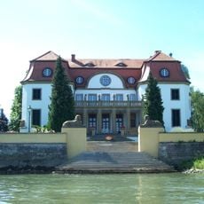
Königsklinger Aue
3.4 km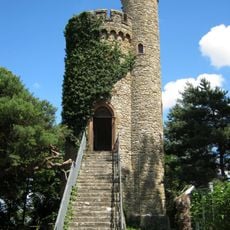
Lenneberg tower
3.8 km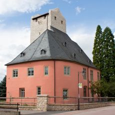
Burg Windeck
1.8 km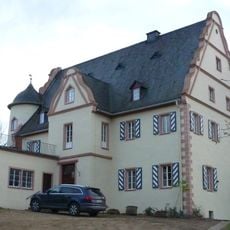
Schlossmühle
1.6 km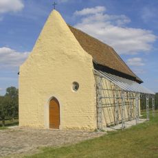
St. Georg
1.8 km
Höllenberg
1.2 km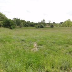
Sandgrube am Weilersberg
2.9 km
Kriegerehrenmal
3.8 km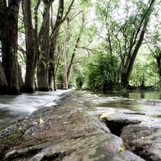
Haderaue-Königsklinger Aue
3.2 km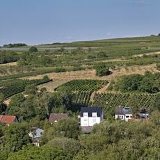
Hangflächen südöstlich Heidesheim
953 m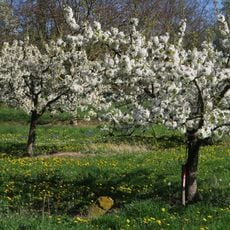
Hangflächen um den Heidesheimer Weg
3.1 km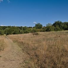
Am Rothen Sand
2.1 km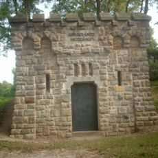
Wasserbehälter
1.6 km
Wasserbehälter
3.5 km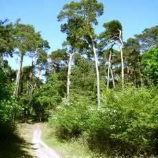
Lennebergwald
2.9 km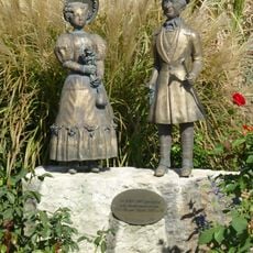
Biedermeierpaar
3.8 km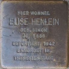
Stolperstein dedicated to Elise Henlein
2.9 km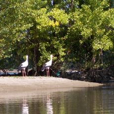
Inselrhein
3.2 km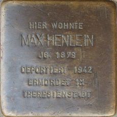
Stolperstein dedicated to Max Henlein
2.9 km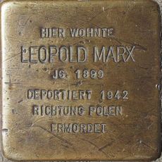
Stolperstein dedicated to Leopold Marx
2.9 km
Stolperstein dedicated to Betty Winterfeld
2.9 km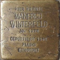
Stolperstein dedicated to Manfred Winterfeld
2.9 km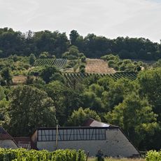
Kalkflugsandgebiet Mainz-Ingelheim
1.6 km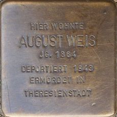
Stolperstein dedicated to August Weis
3 km
Stolperstein dedicated to Ella Marx
2.9 km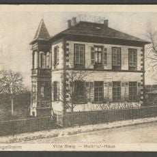
Villa Steig
3.6 km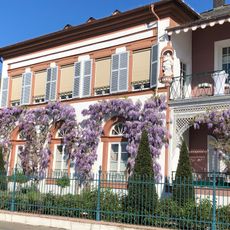
Villa G. v. Mumm
3.8 kmVisited this place? Tap the stars to rate it and share your experience / photos with the community! Try now! You can cancel it anytime.
Discover hidden gems everywhere you go!
From secret cafés to breathtaking viewpoints, skip the crowded tourist spots and find places that match your style. Our app makes it easy with voice search, smart filtering, route optimization, and insider tips from travelers worldwide. Download now for the complete mobile experience.

A unique approach to discovering new places❞
— Le Figaro
All the places worth exploring❞
— France Info
A tailor-made excursion in just a few clicks❞
— 20 Minutes