
Vorbahnhofsgelände Düren, nature reserve in Germany
Location: Düren
Inception: 1988
GPS coordinates: 50.82803,6.50523
Latest update: March 30, 2025 20:09
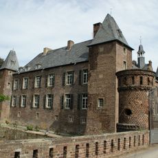
Haus Rath
1.8 km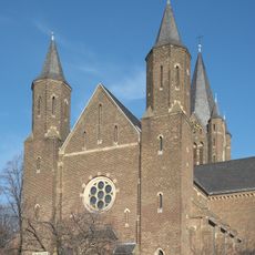
Groß St. Arnold
1.4 km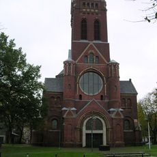
Saint Joachim Church
2.5 km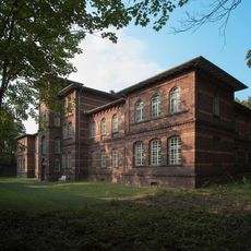
Haus 5
1.9 km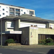
Stadtmuseum Düren
2.5 km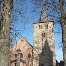
Klein St. Arnold (Arnoldsweiler)
1.4 km
St. Laurentius
1.5 km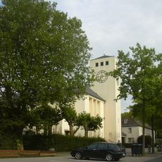
St. Bonifatius
2.4 km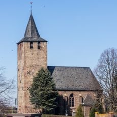
Distelrather Kapelle
1.9 km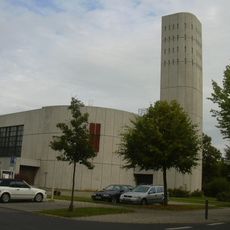
St. Antonius
1.9 km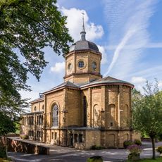
Klinikkirche Herz Jesu
2.1 km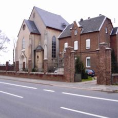
Karmel Düren
1.9 km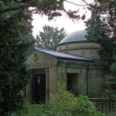
Familiengruft Peill
2.5 km
Freiheitsstraße 27
1.8 km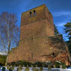
Alte Kirche
1.4 km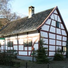
Heimatmuseum Merzenich
1.4 km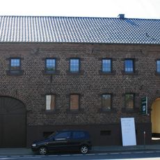
Arnoldusstraße 17
1.5 km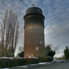
Turmwindmühle Merzenich
2.2 km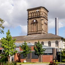
Maschinenhaus mit Wasserturm, LVR-Klinik Düren
2 km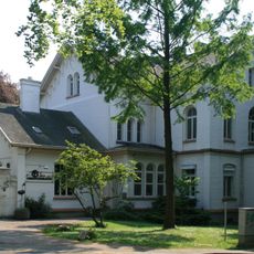
Ehemaliges Direktorenwohnhaus (LVR-Klinik Düren)
2.1 km
Haus Heerweg 14
1.9 km
Arnoldusstraße 26
1.5 km
Arnoldusstraße 2 (Arnoldsweiler)
1.5 km
Ellener Straße 10 (Arnoldsweiler)
1.5 km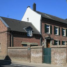
Rather Straße 5
1.4 km
Haus Heerweg 22 (LVR-Klinik Düren)
1.9 km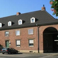
Pestalozzistraße 17–19
1.9 km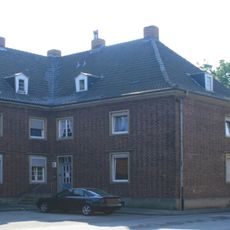
Pestalozzistraße 18–20
1.9 kmReviews
Visited this place? Tap the stars to rate it and share your experience / photos with the community! Try now! You can cancel it anytime.
Discover hidden gems everywhere you go!
From secret cafés to breathtaking viewpoints, skip the crowded tourist spots and find places that match your style. Our app makes it easy with voice search, smart filtering, route optimization, and insider tips from travelers worldwide. Download now for the complete mobile experience.

A unique approach to discovering new places❞
— Le Figaro
All the places worth exploring❞
— France Info
A tailor-made excursion in just a few clicks❞
— 20 Minutes