
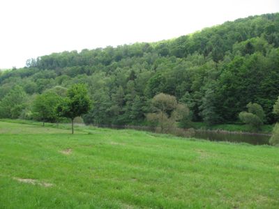
Fulda zwischen Wahnhausen und Bonaforth, protected area in the European Union defined by the habitats directive in Niedersachsen, Germany
Location: Hann. Münden
Location: Staufenberg
Inception: 2004
GPS coordinates: 51.38325,9.59117
Latest update: March 3, 2025 00:32
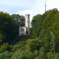
Tillyschanze
5.2 km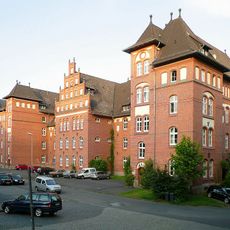
Kurhessen Barracks
4.2 km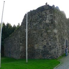
Burg Sichelnstein
4.9 km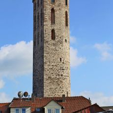
Fährenpfortenturm
5.3 km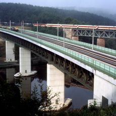
Fuldatalbrücke Kragenhof
3.9 km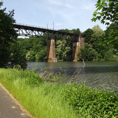
Fuldatalbrücke Kragenhof von 1855
4 km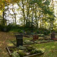
Burgstall Knickhagen
3.2 km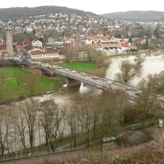
Pionierbrücke
5.2 km
Alter Jüdischer Friedhof
5.3 km
Kleiner Staufenberg (Kaufunger Wald)
2.7 km
Großer Staufenberg (Kaufunger Wald)
4.1 km
St. Petri
3.3 km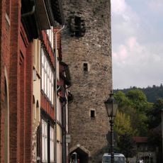
Ziegelpfortenturm
5.4 km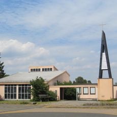
St. Judas Thaddäus
3.3 km
St. Peter und Paul
2.2 km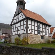
Kapelle Bonaforth
3.2 km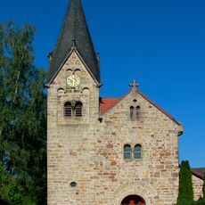
Marienbasilika (Wilhelmshausen)
2.4 km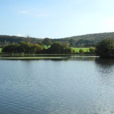
Kragenhof bei Fuldatal
4.5 km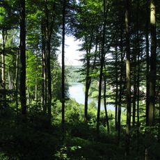
Fulda und Fuldaufer
4.3 km
Naturschutzgebiet Termenei bei Wilhelmshausen
3.1 km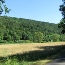
Landschaftsschutzgebiet Mittleres Fuldatal
5 km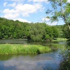
Landschaftsschutzgebiet Unteres Fuldatal
3.3 km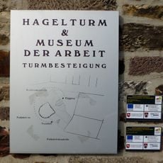
Museum der Arbeit I Hagelturm
5.3 km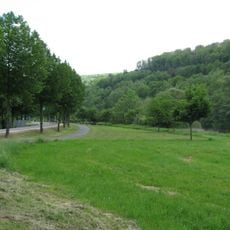
Fulda ab Wahnhausen
532 m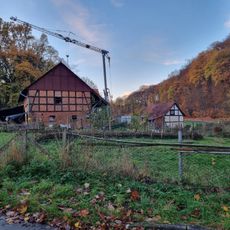
Ehem. Untermühle und Brücke
2.3 km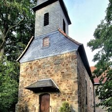
Ev. Kirche
2.6 km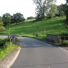
Brücken
2.3 km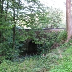
Brücke über den Osterbach
2 kmVisited this place? Tap the stars to rate it and share your experience / photos with the community! Try now! You can cancel it anytime.
Discover hidden gems everywhere you go!
From secret cafés to breathtaking viewpoints, skip the crowded tourist spots and find places that match your style. Our app makes it easy with voice search, smart filtering, route optimization, and insider tips from travelers worldwide. Download now for the complete mobile experience.

A unique approach to discovering new places❞
— Le Figaro
All the places worth exploring❞
— France Info
A tailor-made excursion in just a few clicks❞
— 20 Minutes