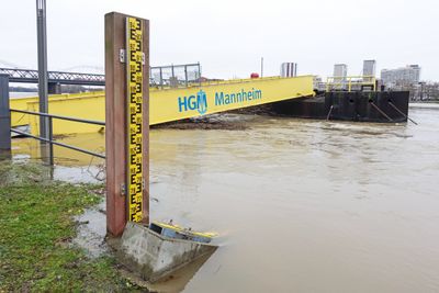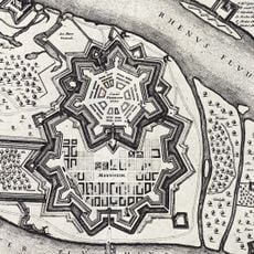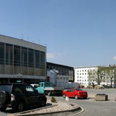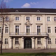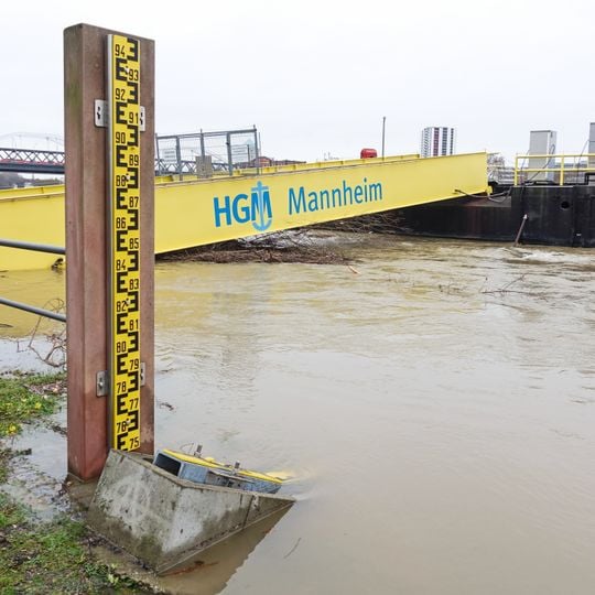
Pegel Mannheim, Stream gauge in Mannheim, Germany.
Pegel Mannheim is a shipping gauge on the right bank of the Rhine at kilometre 424.733, just under 300 m downstream of the Konrad-Adenauer-Brücke. Its scale consists of two inclined boards reading from 3.40 m to 5.10 m and on to 7.50 m, with a vertical board above up to 9.50 m. The numerical display stands about 250 m further downstream on the river-facing facade of an office building on the Rheinkai.
Systematic water level records at this spot on the Rhine date back to the 19th century, when growing river traffic made reliable measurements a practical necessity. Over time the instruments were updated, but the continuity of the data series was preserved, turning it into a long-term archive.
The gauge's readings appear on a large display on the river-facing facade of an office building at the Rheinkai, about 250 m downstream of the staff gauge itself. The staff gauge is a set of inclined laths from 3.40 m to 5.10 m and on to 7.50 m, topped by a vertical lath reaching 9.50 m. The operator is the Wasserstraßen- und Schifffahrtsamt Mannheim, and the measurement point carries the number 23700700.
The station is visible from the Rhine riverbank and easy to reach on foot from the city center. Current readings are published online, so you can check the water level before heading out.
The gauge's zero point has been reset several times: since 18 July 2017 it lies at 85.117 m in the DHHN 2016 system, after 85.160 m (NHN) from 2011. The lowest known level, 92 cm until 2018, fell to 85 cm in October 2018 and to 81 cm on 4 August 2026.
The community of curious travelers
AroundUs brings together thousands of curated places, local tips, and hidden gems, enriched daily by 94,505 contributors worldwide.