
Jägersgrüner Hochmoor, nature reserve in Sachsen, Germany
Location: Muldenhammer
Inception: 2008
GPS coordinates: 50.45120,12.46070
Latest update: June 3, 2025 12:13
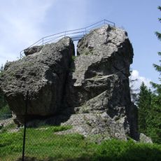
Schneckenstein
4.3 km
Deutsche Raumfahrtausstellung Morgenröthe-Rautenkranz
2.6 km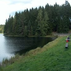
Vogtlandsee
1.4 km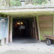
Grube Tannenberg
4 km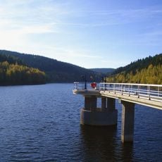
Talsperre Falkenstein
6.1 km
Deutsche Raumfahrtausstellung Morgenröthe-Rautenkranz e.V.
2.5 km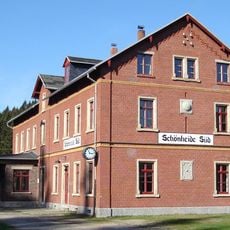
Bahnhof Wilzschhaus
4.6 km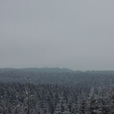
Kiel
5 km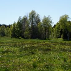
Muldenwiesen
2.9 km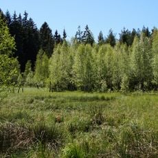
Am alten Floßgraben
3.1 km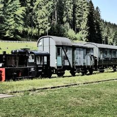
Förderverein Historische Westsächsische Eisenbahnen e.V.
4.7 km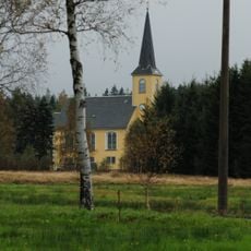
Kirche Tannenbergsthaler Straße 46
3.2 km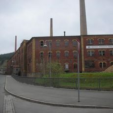
Lederfabrik Eduard Keffel (ehem.) Tannenbergsthal
2 km
Kirche (mit Ausstattung) Am Kirchberg 4
2.3 km
Schaubergwerk Schneckenstein; Grube Tannenberg (Sachgesamtheit) Schneckenstein (Tannenbergsthal)
3.8 km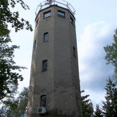
Carlsturm
4 km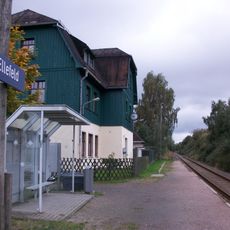
Haltepunkt Ellefeld
5.9 km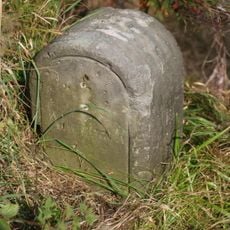
Kgl.-sächs. Postmeilenstein Mühlleithen
5.4 km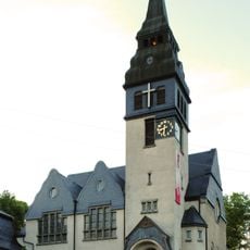
Kirche Kirchstraße 2
1.3 km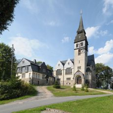
Pfarrhaus Kirchstraße 2
1.3 km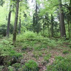
Oberes Zwickauer Muldetal
788 m
Am alten Floßgraben
3.1 km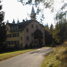
Albertsberg
4.2 km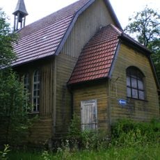
Carolagrün
4.7 km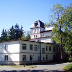
Bad Reiboldsgrün
4.3 km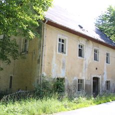
Former forester’s house Wilzschmühle
5.8 km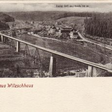
Muldentalviadukt Wilzschhaus
4.7 km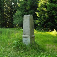
Station 141 Kiel
5 kmReviews
Visited this place? Tap the stars to rate it and share your experience / photos with the community! Try now! You can cancel it anytime.
Discover hidden gems everywhere you go!
From secret cafés to breathtaking viewpoints, skip the crowded tourist spots and find places that match your style. Our app makes it easy with voice search, smart filtering, route optimization, and insider tips from travelers worldwide. Download now for the complete mobile experience.

A unique approach to discovering new places❞
— Le Figaro
All the places worth exploring❞
— France Info
A tailor-made excursion in just a few clicks❞
— 20 Minutes