
Bärwalder Ländchen, protected area in Germany
Location: Teltow-Fläming District
Inception: November 5, 1969
GPS coordinates: 51.85162,13.25924
Latest update: March 31, 2025 03:24
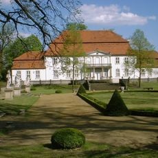
Wiepersdorf manor
3.7 km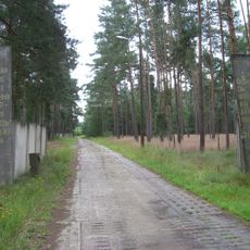
Special Weapons Depot Stolzenhain
6.8 km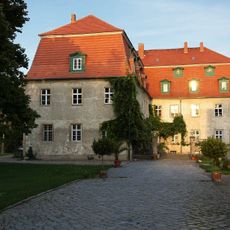
Schloss Ahlsdorf
2.9 km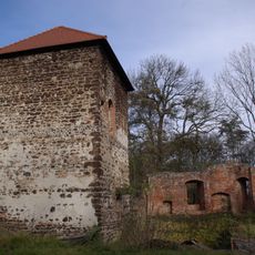
Burg Bärwalde
2.7 km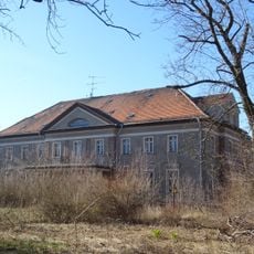
Gutshaus Reinsdorf
6.6 km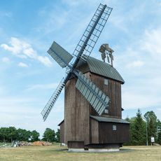
Paltrockmühle Schönewalde
4.8 km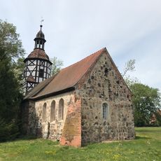
Dorfkirche (Stolzenhain bei Schönewalde)
6.9 km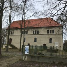
Village church Wiepersdorf
3.7 km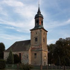
Village church Ahlsdorf
3 km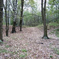
Burgwall Bärwalde
2.7 km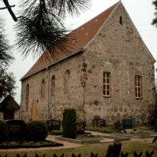
Dorfkirche Waltersdorf (Niederer Fläming)
6.4 km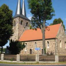
Village church Ihlow
5.7 km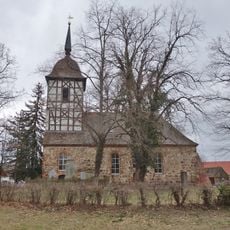
Village church Wildenau (Schönewalde)
7.5 km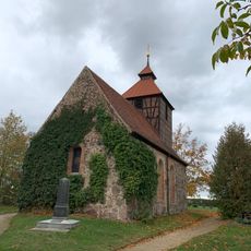
Dorfkirche Niederseefeld
4.9 km
Jewish cemetery, Meinsdorf
392 m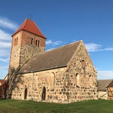
Dorfkirche Hohenseefeld
5.1 km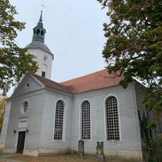
Stadtkirche St. Nicolai
4.6 km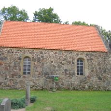
Dorfkirche Kossin
2.1 km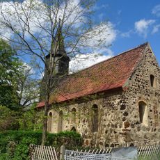
Protestant Church Knippelsdorf
6.9 km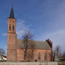
Dorfkirche Meinsdorf
782 m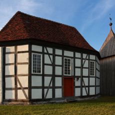
Village church Hohenkuhnsdorf
3.4 km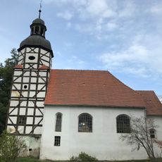
Dorfkirche Mehlsdorf
6.2 km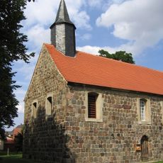
Dorfkirche Reinsdorf
6.7 km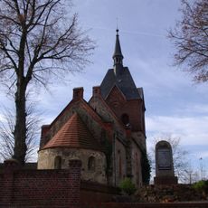
Dorfkirche Illmersdorf
6.9 km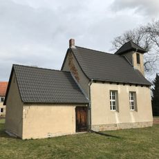
Dorfkirche Nonnendorf
6.1 km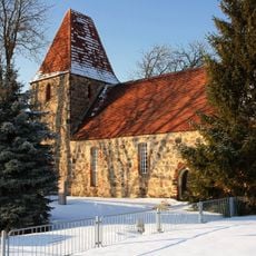
Protestant Church (Wiepersdorf)
7 km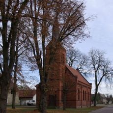
Protestant Church (Brandis)
8.3 km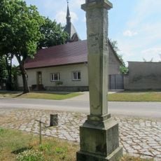
Polish-Saxon Post Milestone in Ihlow
7 kmReviews
Visited this place? Tap the stars to rate it and share your experience / photos with the community! Try now! You can cancel it anytime.
Discover hidden gems everywhere you go!
From secret cafés to breathtaking viewpoints, skip the crowded tourist spots and find places that match your style. Our app makes it easy with voice search, smart filtering, route optimization, and insider tips from travelers worldwide. Download now for the complete mobile experience.

A unique approach to discovering new places❞
— Le Figaro
All the places worth exploring❞
— France Info
A tailor-made excursion in just a few clicks❞
— 20 Minutes