
Christiansburg, protected landscape in Lower Saxony, Germany
Location: Friesland
Inception: 1991
GPS coordinates: 53.40490,8.16965
Latest update: May 23, 2025 01:38
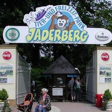
Jaderpark
8.8 km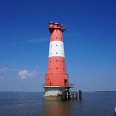
Leuchtturm Arngast
8.5 km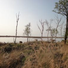
Schwimmendes Moor
9.6 km
Phallus
6.1 km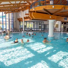
Außenbereich Quellbad
6 km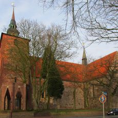
Varel palace church
2.3 km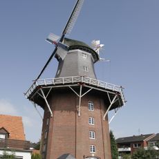
Windmühle Varel
1.8 km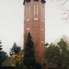
Wasserturm Varel
3.4 km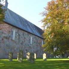
St.-Cosmas-und-Damian-Kirche
10.4 km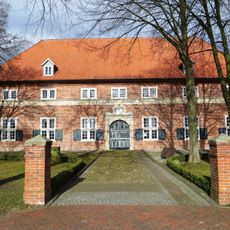
Waisenhaus
2.9 km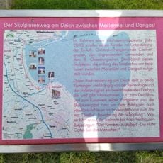
Kunst am Deich
3 km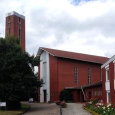
St. Bonifatius
2.2 km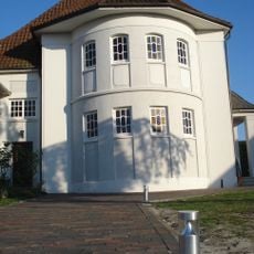
Church of Peace
1.9 km
Hundestrand
6.1 km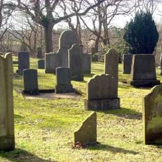
Jewish cemetery, Hohenberge
1.3 km
Teichfledermausgewässer
11.6 km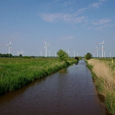
Driefeler Wiesen
10.2 km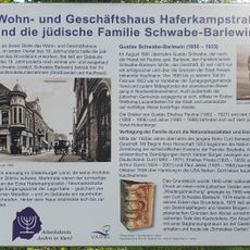
Schwabes Garten
2.1 km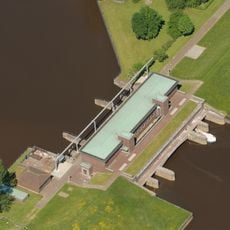
Schöpfwerk Petershörn
6.3 km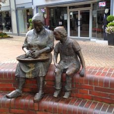
Die Krabbenpulerin
2.3 km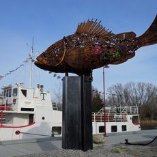
Future Fish
313 m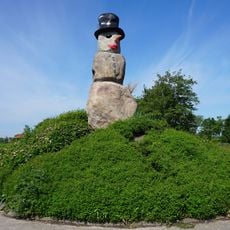
Eis-Mann-Frau
1.3 km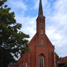
Alte St.-Bonifatius-Kirche
2.2 km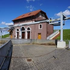
Vareler Siel
1.3 km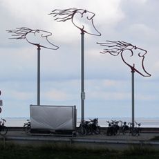
Windwächter
12.1 km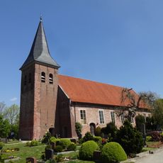
Trinitatiskirche
8.5 km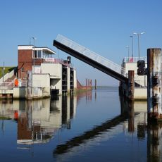
Wilhelm-Kammann-Schleuse
1.3 km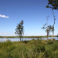
Marschen am Jadebusen
9.6 kmReviews
Visited this place? Tap the stars to rate it and share your experience / photos with the community! Try now! You can cancel it anytime.
Discover hidden gems everywhere you go!
From secret cafés to breathtaking viewpoints, skip the crowded tourist spots and find places that match your style. Our app makes it easy with voice search, smart filtering, route optimization, and insider tips from travelers worldwide. Download now for the complete mobile experience.

A unique approach to discovering new places❞
— Le Figaro
All the places worth exploring❞
— France Info
A tailor-made excursion in just a few clicks❞
— 20 Minutes