
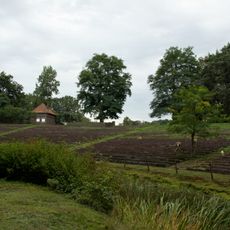
Gehölz südlich der K 229, protected landscape in Lower Saxony, Germany
Location: Oldenburg
Inception: 1976
GPS coordinates: 53.09350,8.59867
Latest update: June 11, 2025 13:00
Stedingsehre
5 km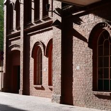
Nordwolle
5.1 km
Allerheiligen
5.3 km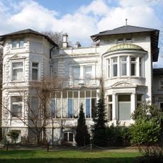
Villa Lahusen
5.1 km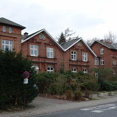
Wohnhäuser Fabrikhof 3/4
5 km
Louisenstraße 35
5 km
Alte Kämmerei
4.9 km
Stadtkirche (Delmenhorst)
5.3 km
Wollepark der Nordwolle
4.8 km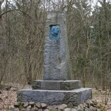
Denkmal Nikolaus Friedrich Peter
4.7 km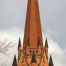
St. Marien
5.1 km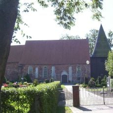
Church of St. Gallen (Altenesch)
4.1 km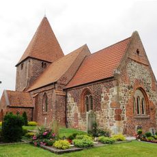
Saint Catherine of Alexandria Church (Schönemoor)
509 m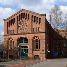
Am Turbinenhaus 12
5.1 km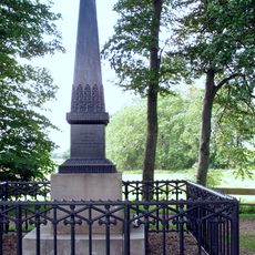
St.-Veit-Denkmal
4 km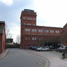
Verwaltungsgebäude der Nordwolle
5.1 km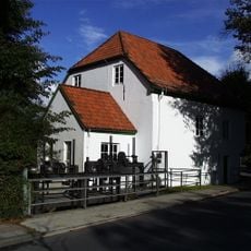
Museumsmühle Hasbergen
4.4 km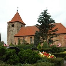
St. Laurentius-Kirche (Hasbergen)
5.1 km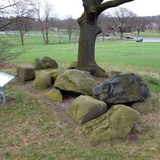
Großsteingrab Stenum
3.6 km
Hemmelskamp
2.9 km
Sandhauser Brake und Schwarze Brake
4 km
Nordwestdeutsches Museum für Industriekultur
5.1 km
Welseniederung
4.5 km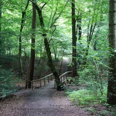
Stenumer Holz
3.2 km
Nobiskuhle
4.5 km
Brookdeich
465 m
Steenhafe
3.3 km
Neuenlander Moor
3.7 kmReviews
Visited this place? Tap the stars to rate it and share your experience / photos with the community! Try now! You can cancel it anytime.
Discover hidden gems everywhere you go!
From secret cafés to breathtaking viewpoints, skip the crowded tourist spots and find places that match your style. Our app makes it easy with voice search, smart filtering, route optimization, and insider tips from travelers worldwide. Download now for the complete mobile experience.

A unique approach to discovering new places❞
— Le Figaro
All the places worth exploring❞
— France Info
A tailor-made excursion in just a few clicks❞
— 20 Minutes