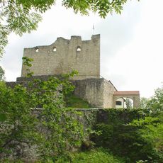
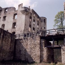
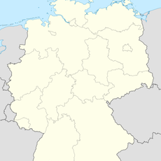
Glastal, Protected landscape area in Reutlingen, Germany
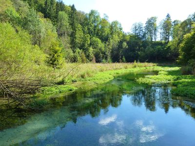
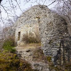
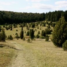
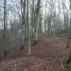
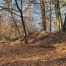
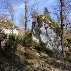
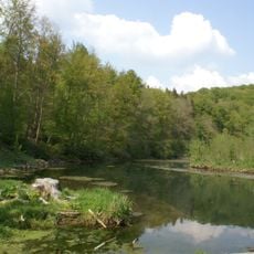
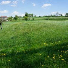
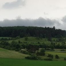
Glastal is a protected landscape area near Reutlingen that stretches roughly 4 kilometers from north to south, featuring dense forests, rocky outcrops, and the winding Hasenbach river. The valley includes wet meadows and small ponds along its course, creating varied habitats throughout the protected zone.
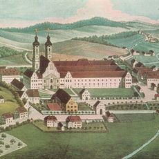
The area received official protected status on July 22, 1958, when the Münsingen district office designated it to safeguard its natural features. This decision reflected the growing focus on conservation efforts across the region during the mid-20th century.
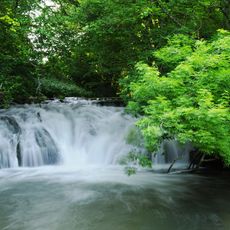
The valley's name stems from the glass-like clarity of the water that flows through it, a characteristic that shaped how locals and visitors perceive the landscape. This water feature remains central to how people experience and interact with the area today.
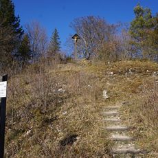
The area is accessible from multiple entry points, with walking trails connecting different sections of the valley. The terrain can be wet and muddy depending on the season, so sturdy footwear is advisable for exploring the protected zone.
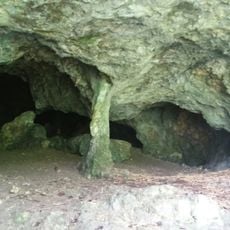
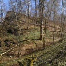
The Wimsener cave lies in the middle section and features geological formations that draw visitors interested in underground structures. The northern part functions as part of a larger biosphere reserve, giving it importance beyond just the protected valley itself.
The community of curious travelers
AroundUs brings together thousands of curated places, local tips, and hidden gems, enriched daily by 60,000 contributors worldwide.