
Talbereich bei Klus, protected area in Germany
Location: Blomberg
Inception: 2005
GPS coordinates: 51.97679,9.16781
Latest update: April 2, 2025 17:28
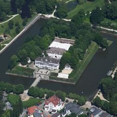
Schloss Pyrmont
5.6 km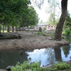
Tierpark Bad Pyrmont
5.8 km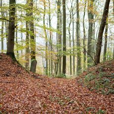
Herlingsburg
3.5 km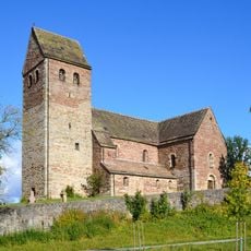
St. Kilian
5.9 km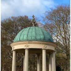
Erdbeertempel
5.8 km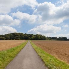
Saal-Berg
5.4 km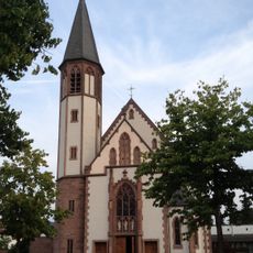
St. Georg
6.3 km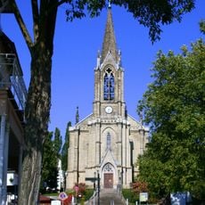
Christuskirche
6.1 km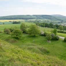
Hecken- und Grünlandkomplex auf der Sonnenborner Hochfläche und dem Knappberg
4.2 km
Evangelische Kirche Sonneborn
3.9 km
Bomhof
4.5 km
St. Marien (Lügde)
5.8 km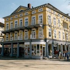
Haus Ockel Bad Pyrmont
6 km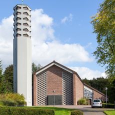
St. Martin (Blomberg)
6.2 km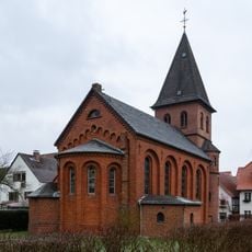
St. Johannis
5.9 km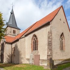
Evangelische Kirche Barntrup
4.3 km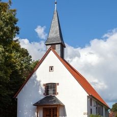
St. Peter und Paul
3.7 km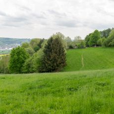
Winzenberg
3.4 km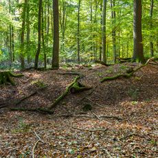
Siekholzer Schanze
5.6 km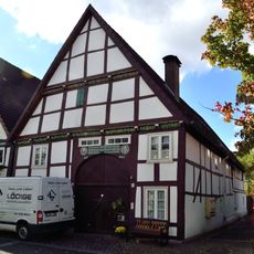
Hintere Straße 12
5.6 km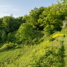
Biotopkomplex am Mühlenturm
3.6 km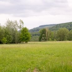
Emmertal
5.4 km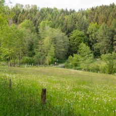
Emmertal
5.6 km
LSG-Uhlensenbach
4.8 km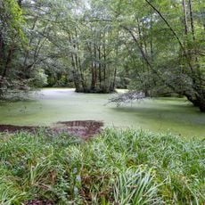
LSG-Selbecke
5.5 km
Kurtheater Bad Pyrmont
5.9 km
LSG-Gruenlandtaeler noerdlich und suedlich Eschenbruch
2.3 km
LSG-Tal am Suedhang des Humberges
5.8 kmReviews
Visited this place? Tap the stars to rate it and share your experience / photos with the community! Try now! You can cancel it anytime.
Discover hidden gems everywhere you go!
From secret cafés to breathtaking viewpoints, skip the crowded tourist spots and find places that match your style. Our app makes it easy with voice search, smart filtering, route optimization, and insider tips from travelers worldwide. Download now for the complete mobile experience.

A unique approach to discovering new places❞
— Le Figaro
All the places worth exploring❞
— France Info
A tailor-made excursion in just a few clicks❞
— 20 Minutes