
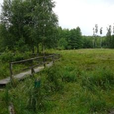
LSG-Hildener Stadtwald/Itter <Raumeinheit A>, protected area in Germany
Location: Hilden
Inception: 1984
GPS coordinates: 51.17587,6.98412
Latest update: May 15, 2025 02:10
Ohligser Heide
2.1 km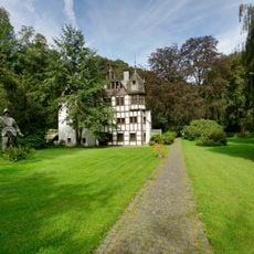
Schloss Caspersbroich
1.4 km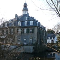
Hackhausen Castle
2.8 km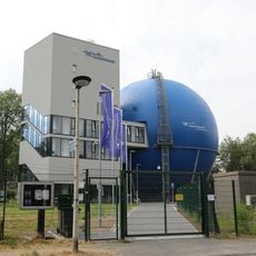
Galileum Solingen
2.1 km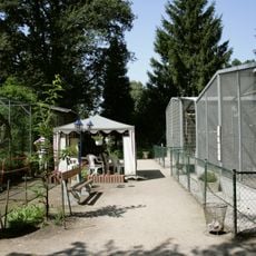
Solinger Vogel- und Tierpark
1.7 km
Hildorado
2.7 km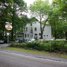
Solingen-Engelsberger Hof
2.6 km
St. Jakobus
3.2 km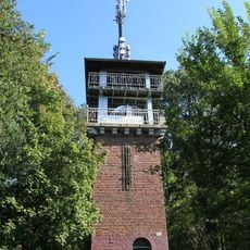
Jaberg
1 km
St. Joseph
2.4 km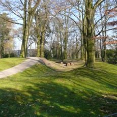
Holterhöfchen
2.9 km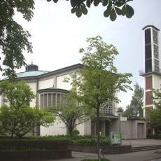
St. Chrysanthus und Daria
2.4 km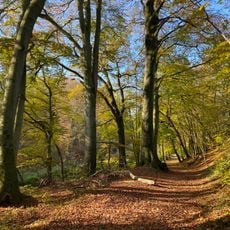
Mittleres Ittertal und Baverter Bachtal
1.7 km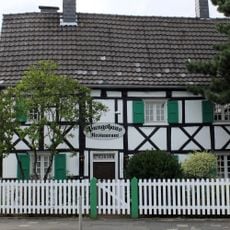
Pungshaus
2.6 km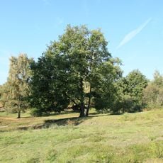
Sandberg
570 m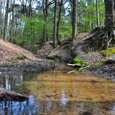
Hildener Stadtwald, Bereich Sandbach–Krebsbach
2.6 km
Konsumgenossenschaft Solidarität
1.5 km
Solingen-Suppenheide
2.2 km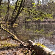
Hildener Heide-Schönholz
1 km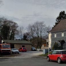
Altenufer
3 km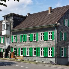
Broßhauser Mühle
1.2 km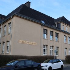
Schulgebäude Fürkerfeldstraße
2.7 km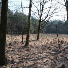
Hildener Heide, östlich Taubenberg
1.6 km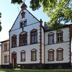
Amtsgericht Ohligs
2.5 km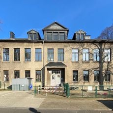
Schulgebäude Fürker Irlen
3.1 km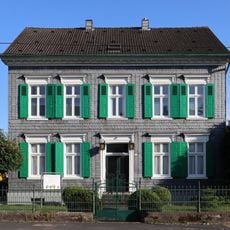
Merscheider Straße 143
3.1 km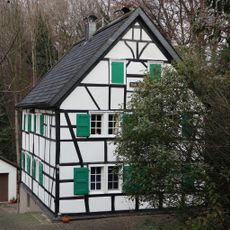
Solingen-Schwarzenhäuschen
3.1 km
Wiefeldick 10, 12
3.3 kmReviews
Visited this place? Tap the stars to rate it and share your experience / photos with the community! Try now! You can cancel it anytime.
Discover hidden gems everywhere you go!
From secret cafés to breathtaking viewpoints, skip the crowded tourist spots and find places that match your style. Our app makes it easy with voice search, smart filtering, route optimization, and insider tips from travelers worldwide. Download now for the complete mobile experience.

A unique approach to discovering new places❞
— Le Figaro
All the places worth exploring❞
— France Info
A tailor-made excursion in just a few clicks❞
— 20 Minutes