Unteres Broichbachtal, protected landscape in Germany
Location: Herzogenrath
Location: Alsdorf
Inception: 1991
GPS coordinates: 50.86348,6.14474
Latest update: March 29, 2025 01:37
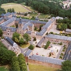
Rolduc
4.5 km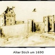
Burg Wilhelmstein
3.9 km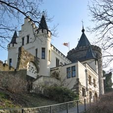
Burg Rode
3.9 km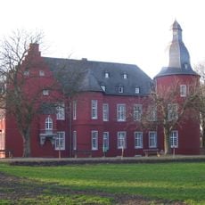
Burg Alsdorf
2.1 km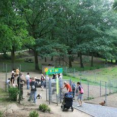
Tierpark Alsdorfer Weiher
220 m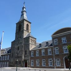
Abdijkerk Rolduc
4.4 km
Museo Energeticon
1.3 km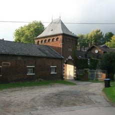
Schloss Ottenfeld
363 m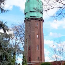
Wasserturm Bardenberg
3.3 km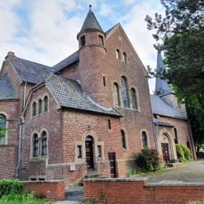
St. Willibrord
2.8 km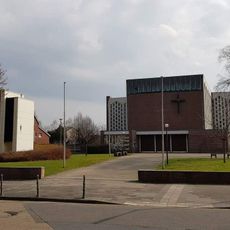
St. Castor
2.1 km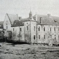
Schloss Kellersberg
1.5 km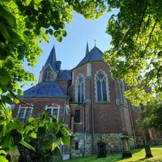
St. Peter und Paul
3.2 km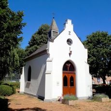
Antoniuskapelle
3.7 km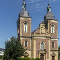
St. Maria Himmelfahrt, Herzogenrath
3.8 km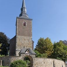
St. Willibrord
3.8 km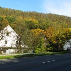
Alsdorfer Ölmühle
132 m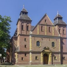
Saint Gertrude Church
3.5 km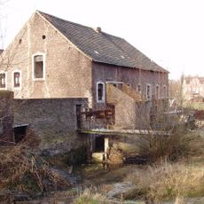
Baalsbruggermolen
4.4 km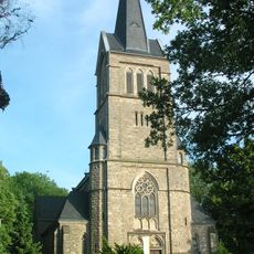
St. Nikolaus, Broichweiden
3.8 km
Linkens Mühle
239 m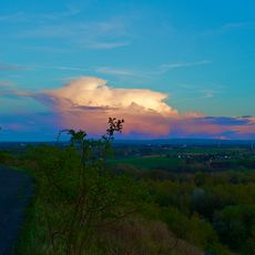
Bergehalden Noppenberg und Nordstern
1.5 km
Erckensmühle
3.3 km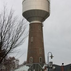
Cinetower
2 km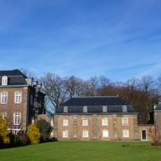
Abbey buildings Abdij Rolduc
4.5 km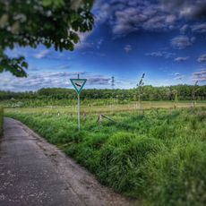
Oberes Broichbachtal
2.6 km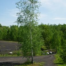
Wurmtal südlich Herzogenrath, einschließlich Meisbach, Würselen
4.5 km
St. Balbina
3.8 kmReviews
Visited this place? Tap the stars to rate it and share your experience / photos with the community! Try now! You can cancel it anytime.
Discover hidden gems everywhere you go!
From secret cafés to breathtaking viewpoints, skip the crowded tourist spots and find places that match your style. Our app makes it easy with voice search, smart filtering, route optimization, and insider tips from travelers worldwide. Download now for the complete mobile experience.

A unique approach to discovering new places❞
— Le Figaro
All the places worth exploring❞
— France Info
A tailor-made excursion in just a few clicks❞
— 20 Minutes