Enable Location

We need your location to show you interesting places around you

Discover nearby places

Find interesting locations and hidden gems around you

Precise directions

Get accurate directions and distances to places

Your location is never shared with other users. It's only used when you tap the location button.

Herzogenrath

Log in to your account

Start exploring — it's free

Trusted by 61,995 travelers worldwide

Continue with Google
Continue with Apple
or

We will send you a code to connect

By continuing, you accept our Terms and Conditions and our Privacy Policy

Check your inbox

We've sent a pincode in your inbox. Please enter the code below.

Herzogenrath, Municipality in Aachen district, North Rhine-Westphalia, Germany.

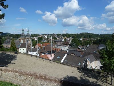
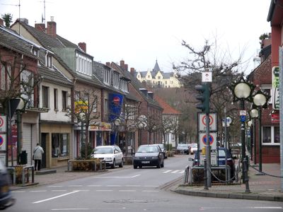
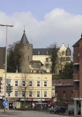
Herzogenrath is a medium-sized town municipality at the German-Dutch border in the Aachen region, with the settlement extending across the Wurm river valley. The town sits directly adjacent to the Dutch town of Kerkrade, creating a natural binational urban area.

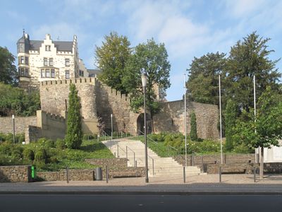
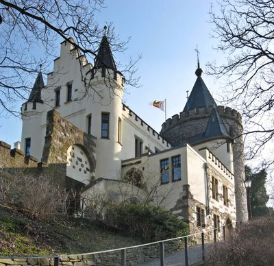
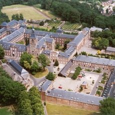
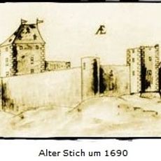
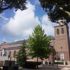
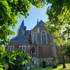
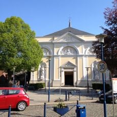
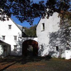
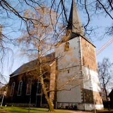
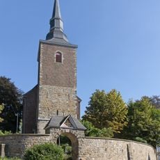
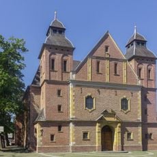
The settlement began in the 11th century as Rode near the Wurm river, with Augustinian monks establishing Kloosterrade abbey in 1104. This religious foundation shaped the area's development for centuries afterward.

The municipality shows strong ties to the Netherlands through daily interactions, shared markets at the border, and how residents naturally move between two countries. This cross-border closeness shapes the character of the place and how people use the shared spaces.

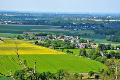
The town is easily reached from Aachen and has good connections to neighboring Kerkrade, making day trips from either country simple. The location along the Wurm valley provides clear orientation, and the nearby RWTH Aachen university influences the general atmosphere.

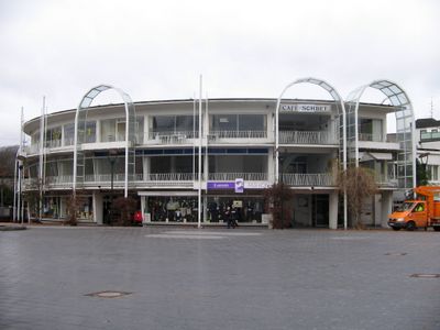
The Eurode Business Centre is Europe's first service center built directly across a national border between Germany and the Netherlands. This architectural feature shows how the two countries integrated their business operations in a novel way.

The community of curious travelers

AroundUs brings together thousands of curated places, local tips, and hidden gems, enriched daily by 60,000 contributors worldwide.

Start exploring
Elevation above the sea
140 m
Shares border with
Aachen, Baesweiler
GPS coordinates
50.86667,6.10000
Latest update
December 17, 2025 08:56
« Herzogenrath - Municipality in Aachen district, North Rhine-Westphalia, Germany » is provided by Around Us (aroundus.com). Images and texts are derived from Wikimedia project under a Creative Commons license. You are allowed to copy, distribute, and modify copies of this page, under the conditions set by the license, as long as this note is clearly visible.

Discover hidden gems everywhere you go!

From secret cafés to breathtaking viewpoints, skip the crowded tourist spots and find places that match your style. Our app makes it easy with voice search, smart filtering, route optimization, and insider tips from travelers worldwide. Download now for the complete mobile experience.

Around Us App Screenshot

A unique approach to discovering new places

Le Figaro

All the places worth exploring

France Info

A tailor-made excursion in just a few clicks

20 Minutes

Around Us
Travel Guide & Maps
Download

Send to your phone

QR Code
1

Open the camera app on your mobile.

2

Point at the QR code with your camera. A notification will appear.

3

Tap the notification to open the link.