
LSG-Seelrath, protected area in Germany
Location: Kerpen
Inception: 1983
GPS coordinates: 50.84343,6.61617
Latest update: March 23, 2025 00:08
Burg Bergerhausen
3.1 km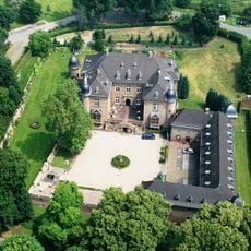
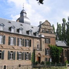
Schloss Nörvenich
4.4 km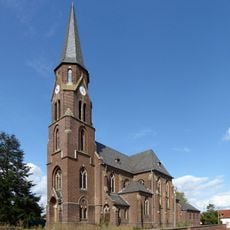
St. Albanus und Leonhardus
4.3 km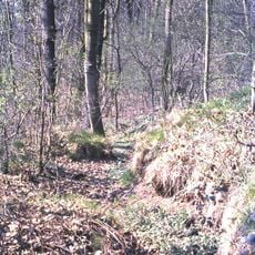
Alte Burg
3.8 km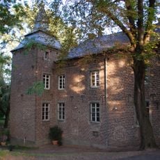
Kommandeursburg Blatzheim
2.1 km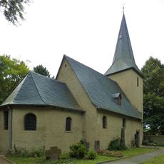
Antoniuskapelle
2.8 km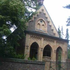
Termelineskapelle Ollesheim
3.6 km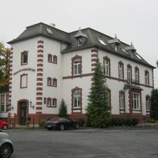
Villa Sophienhöhe
1.9 km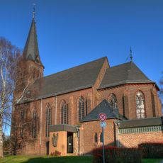
St. Heribert
4.3 km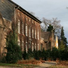
Gut Ollesheim
3.5 km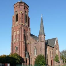
St. Gregorius
2.5 km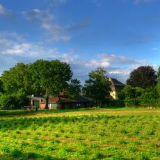
Ahrburg
2.2 km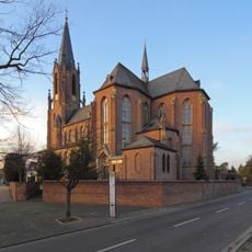
St. Michael
3 km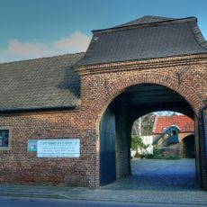
Stacherburg
2.6 km
Johannes-Bugenhagen-Kirche
1.9 km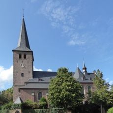
St. Kunibert (Blatzheim)
1.8 km
Burg Niederbolheim
1.6 km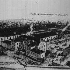
Antoniterhof
2.9 km
Oberbolheimer Mühle
2.9 km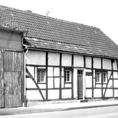
Haus Bahnhofstraße 11 (Nörvenich)
4.4 km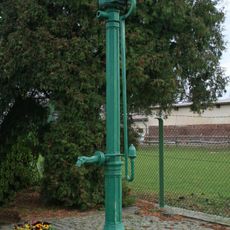
Wasserpumpe Buntwolfstraße
4.3 km
Nörvenich town hall
4.2 km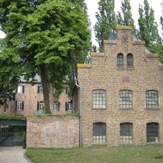
Mühle von Burg Bergerhausen
3.1 km
Bauernhof Heribertstraße 32
4.2 km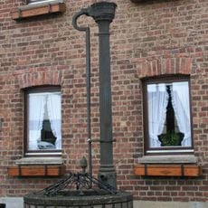
Wasserpumpe Heribertstraße
4.1 km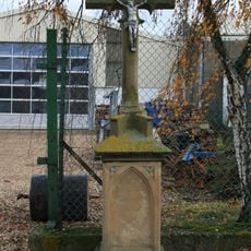
Wegekreuz Heinrich-Veith-Straße
3.9 km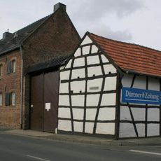
Bauernhof Heribertstraße 2
4.2 km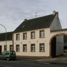
Bauernhof Heribertstraße 34
4.2 kmReviews
Visited this place? Tap the stars to rate it and share your experience / photos with the community! Try now! You can cancel it anytime.
Discover hidden gems everywhere you go!
From secret cafés to breathtaking viewpoints, skip the crowded tourist spots and find places that match your style. Our app makes it easy with voice search, smart filtering, route optimization, and insider tips from travelers worldwide. Download now for the complete mobile experience.

A unique approach to discovering new places❞
— Le Figaro
All the places worth exploring❞
— France Info
A tailor-made excursion in just a few clicks❞
— 20 Minutes