
LSG-Oefter Ruhraue, protected area in Germany
Location: Essen
Inception: 1992
GPS coordinates: 51.36128,6.95624
Latest update: March 6, 2025 12:21
Landsberg Castle
2.5 km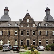
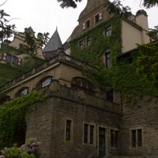
Schloss Hugenpoet
2.7 km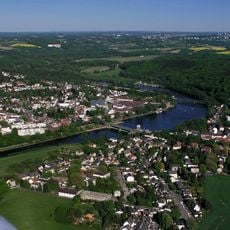
Kettwiger See
1.3 km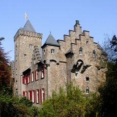
Schloss Oefte
623 m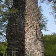
Kattenturm Essen
907 m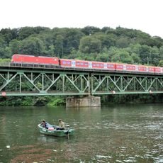
Railway bridge Kettwig
1 km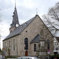
Marktkirche Kettwig
1.3 km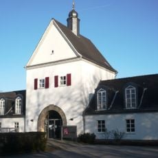
Charlottenhof in Essen
1.1 km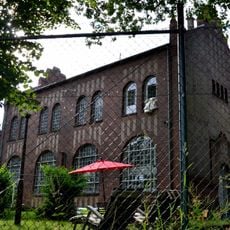
Wolfsbachtal waterworks
2.3 km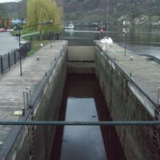
Schleuse Kettwig
1.3 km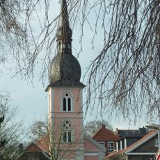
St. Peter
1.5 km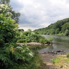
Naturschutzgebiet Untere Kettwiger Ruhraue
2.7 km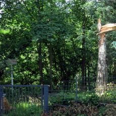
Ziegeleigelände Asey
921 m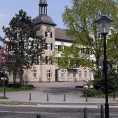
Rathaus Kettwig
1.2 km
Stadtmuseum Kettwig
1.1 km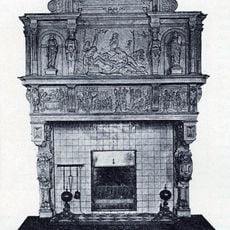
Kain-und-Abel-Kamin
2.7 km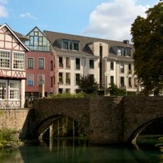
Mühlengrabenbrücke
1.3 km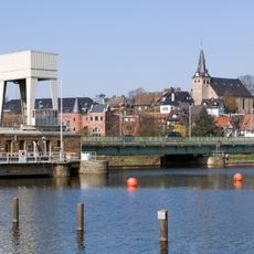
Kettwig Ruhr bridge
1.4 km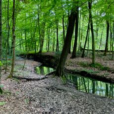
Oefter Tal
1.8 km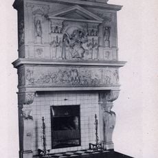
Troja-Kamin
2.7 km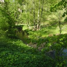
Vogelsangbachtal
2.8 km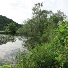
Ruhruferstreifen am Golfplatz Oefte
1.5 km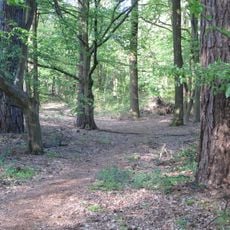
Wälder bei Hugenpoet und Landsberg
3 km
Untere Kettwiger Ruhraue
2.7 km
LSG-Kettwiger Stausee
1.5 km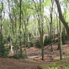
LSG-Auf der Höhe, Passberg, Hoheholz
669 m
Fuchslochbachtal/Siepener Bachtal
2.1 km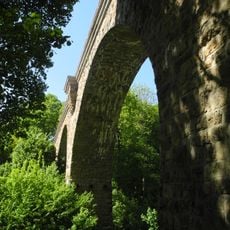
Viadukt obere Ruhrstraße (Heiligenhaus)
3.3 kmReviews
Visited this place? Tap the stars to rate it and share your experience / photos with the community! Try now! You can cancel it anytime.
Discover hidden gems everywhere you go!
From secret cafés to breathtaking viewpoints, skip the crowded tourist spots and find places that match your style. Our app makes it easy with voice search, smart filtering, route optimization, and insider tips from travelers worldwide. Download now for the complete mobile experience.

A unique approach to discovering new places❞
— Le Figaro
All the places worth exploring❞
— France Info
A tailor-made excursion in just a few clicks❞
— 20 Minutes