
LSG-Gebiet suedlich der Krankenanstalt oestlich und westlich der B 51
LSG-Gebiet suedlich der Krankenanstalt oestlich und westlich der B 51, protected area in Germany
Location: Marl
Location: Oer-Erkenschwick
Inception: 1990
GPS coordinates: 51.68375,7.19649
Latest update: June 10, 2025 22:18
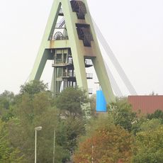
Zeche Auguste Victoria
5.9 km
Haard
3 km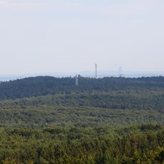
Stim-Berg
4.6 km
Westfälisches Römermuseum Haltern
6.5 km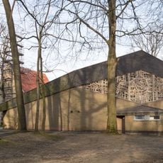
Pilgrimage area of Annaberg (Haltern am See)
5.5 km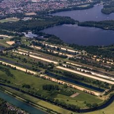
Haltern waterworks
5.8 km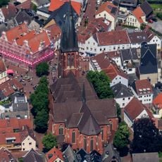
St. Sixtus
6.5 km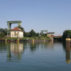
Schleuse Flaesheim
5 km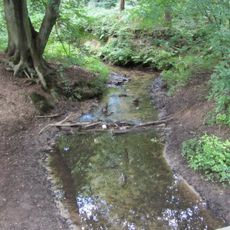
Die Burg
3.2 km
Haus Ostendorf
6.5 km
Waldhaus
1.1 km
Aquarell
6.4 km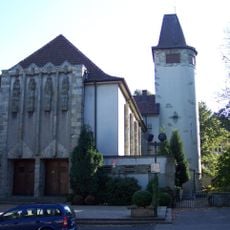
Christus-König-Kirche
5.6 km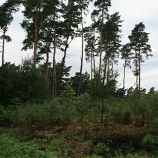
Kibitz-Berg
2.4 km
Braucksenke
4 km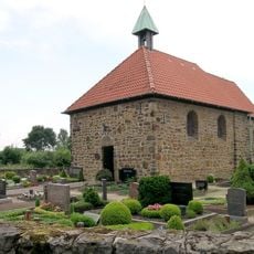
St. Katharina
5.1 km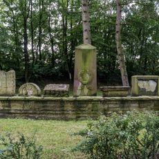
Jüdischer Friedhof (Haltern am See)
6.5 km
Heiliger Johannes Nepomuk
2.6 km
Holy Cross Church
4.6 km
Brinksknapp
129 m
Schwarzer Berg
684 m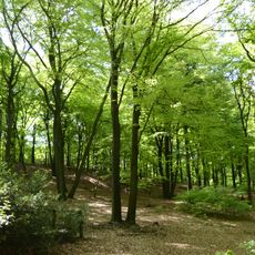
Schwarzer Berg
713 m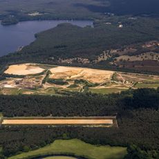
Westruper Heide
6.3 km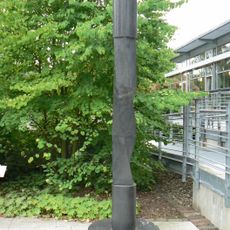
Säule mit 3-6-eckigen Querschnitten
5.6 km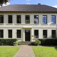
Altes Pastorat
6.5 km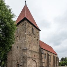
Stiftskirche St. Maria-Magdalena
4.8 km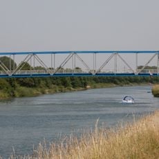
Hammer Brücke
4.6 km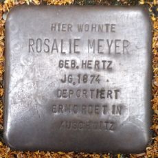
Stolperstein dedicated to Rosalie Meyer
6.3 kmReviews
Visited this place? Tap the stars to rate it and share your experience / photos with the community! Try now! You can cancel it anytime.
Discover hidden gems everywhere you go!
From secret cafés to breathtaking viewpoints, skip the crowded tourist spots and find places that match your style. Our app makes it easy with voice search, smart filtering, route optimization, and insider tips from travelers worldwide. Download now for the complete mobile experience.

A unique approach to discovering new places❞
— Le Figaro
All the places worth exploring❞
— France Info
A tailor-made excursion in just a few clicks❞
— 20 Minutes