
LSG-Im Bereich der Boenninghardt, protected area in Germany
Location: Issum
Inception: 1995
GPS coordinates: 51.55882,6.44903
Latest update: October 6, 2025 17:31
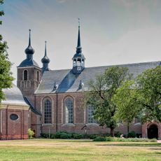
Kamp Abbey
7.8 km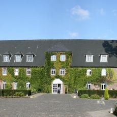
Haus Winnenthal
6.8 km
Oermter Berg
8.4 km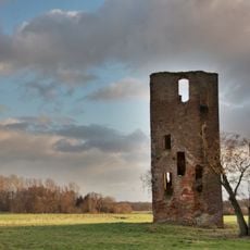
Haus Langendonk
5.1 km
Rheinberg War Cemetery
8.5 km
Wandelweg
7.8 km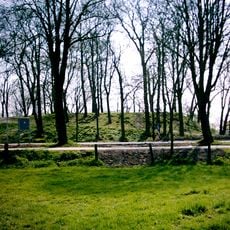
Burg Alpen
5.2 km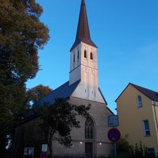
Sankt Gerebernus
8 km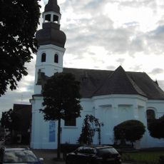
Evangelische Kirche Alpen
5 km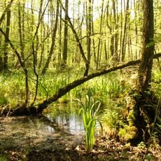
Fleuthkuhlen
6.1 km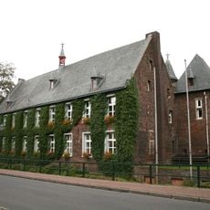
Haus Issum
3.1 km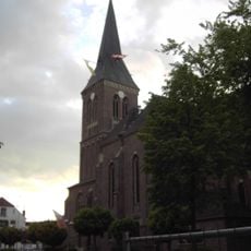
St. Ulrich
4.7 km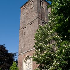
Sankt Maria Magdalena
7.6 km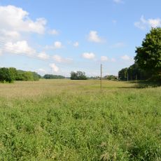
Grenzdyck
8.4 km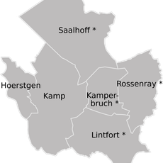
Kamperbruch
8.1 km
Evermarus Church
8.4 km
Chapels in Geldern
5.6 km
Synagoge Issum
3 km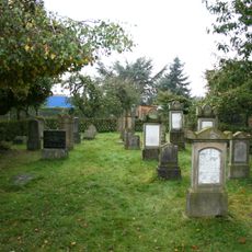
Jüdischer Friedhof Sonsbeck
7.7 km
Erlenbruchwald und Landwehr in der Leucht
5 km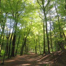
Leucht
4.2 km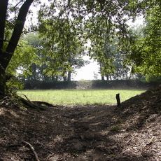
Landschaftsschutzgebiet Noppick, Spanische Schanzen, Schanze St.Maria, Fossa Eugeniana
6.8 km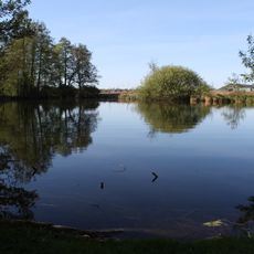
Blink
6.8 km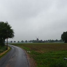
Kevelaerer Donkenland
8.6 km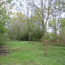
Landschaftsschutzgebiet Mühlohlsley
6 km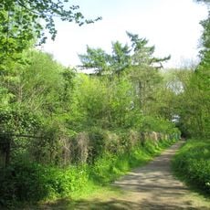
Landschaftsschutzgebiet Waldgebiete Niersenberg, Hoher Busch, Kamper Berg, Dachsberg, Eyller Berg, südlicher Rayener Berg, Gülixberg
7.2 km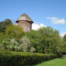
Höhenrand der Bönninghardt und der Leucht
4.2 km
St. Walburgis
8.6 kmReviews
Visited this place? Tap the stars to rate it and share your experience / photos with the community! Try now! You can cancel it anytime.
Discover hidden gems everywhere you go!
From secret cafés to breathtaking viewpoints, skip the crowded tourist spots and find places that match your style. Our app makes it easy with voice search, smart filtering, route optimization, and insider tips from travelers worldwide. Download now for the complete mobile experience.

A unique approach to discovering new places❞
— Le Figaro
All the places worth exploring❞
— France Info
A tailor-made excursion in just a few clicks❞
— 20 Minutes