
LSG-Oberer Eigenerbach <Raumeinheit C>, protected area in Germany
Location: Wuppertal
Inception: 1984
GPS coordinates: 51.28590,7.09543
Latest update: April 3, 2025 06:20
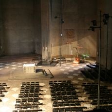
Nevigeser Wallfahrtsdom
3 km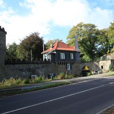
Schloss Aprath
2.3 km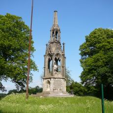
Kaiser-Wilhelm-Denkmal
2.1 km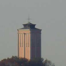
Atadösken
2.5 km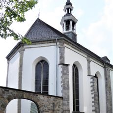
St. Mariä Empfängnis (Neviges)
3.1 km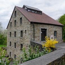
Aprath Mill
2.5 km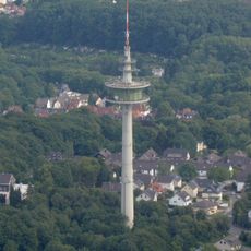
Fernmeldeturm Wuppertal-Westfalenweg
2.7 km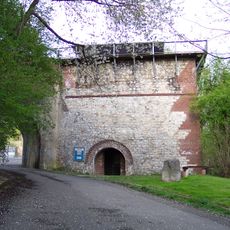
Kalktrichterofen
3.2 km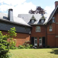
Villa Petershall
2.3 km
Christ König
2.3 km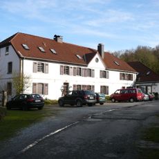
Gut Steinberg
2.3 km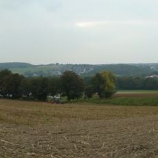
Kleine Höhe
1.1 km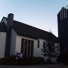
Auferstehungskirche Katernberg
2.2 km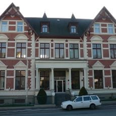
Nevigeser Straße 77
2.7 km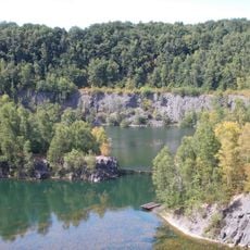
Schlupkothen
2.3 km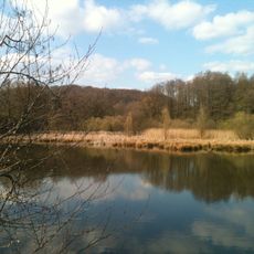
Aprather Mühlenteich
2.5 km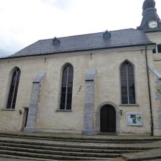
Evangelische Stadtkirche
2.9 km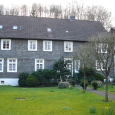
Hof Beek
2.6 km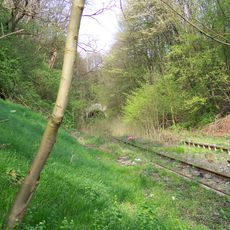
Brücke Am Dorp
3.1 km
Katernberger Vereinshaus
1.9 km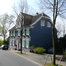
Hainstraße 195
2.4 km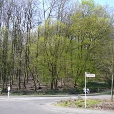
Hasenberg
2.6 km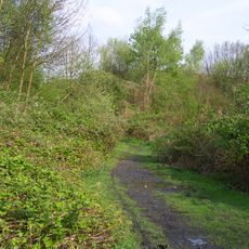
Eskesberg
3 km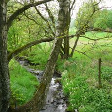
Hardenberger Bachtal
3 km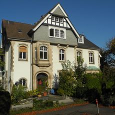
Katernberger Straße 169
3.2 km
Otto-Hausmann-Ring 55
3.2 km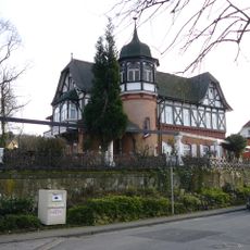
Parkschlösschen, Wuppertal
3.2 km
Kriegerdenkmal des SV Germania
2.2 kmReviews
Visited this place? Tap the stars to rate it and share your experience / photos with the community! Try now! You can cancel it anytime.
Discover hidden gems everywhere you go!
From secret cafés to breathtaking viewpoints, skip the crowded tourist spots and find places that match your style. Our app makes it easy with voice search, smart filtering, route optimization, and insider tips from travelers worldwide. Download now for the complete mobile experience.

A unique approach to discovering new places❞
— Le Figaro
All the places worth exploring❞
— France Info
A tailor-made excursion in just a few clicks❞
— 20 Minutes