
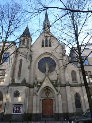
Maria Hilf, Katholisches Kirchengebäude in Köln-Neustadt-Süd
Location: Neustadt-Süd
Inception: 1896
Architects: Adolf Nöcker
Architectural style: Gothic Revival
Address: Rolandstraße 59, 50677 Köln
GPS coordinates: 50.91865,6.95684
Latest update: March 10, 2025 02:43
Ulrepforte
864 m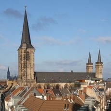
Basilica of St. Severin
574 m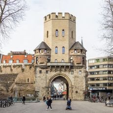
Severinstorburg
400 m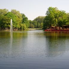
Volksgarten
745 m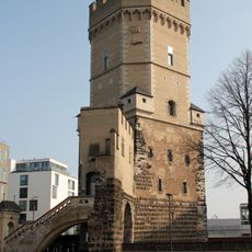
Bayenturm
907 m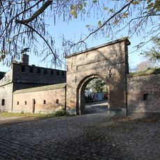
Friedenspark
805 m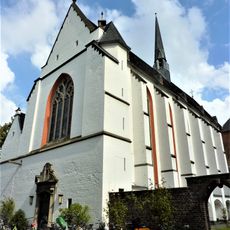
Kartäuserkirche
677 m
Großmarkt Köln
794 m
Bottmühle
639 m
Comedia Theater
230 m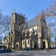
St. Paul
589 m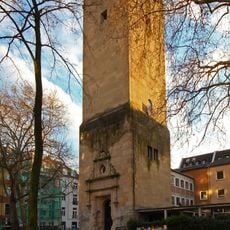
Lutherkirche
290 m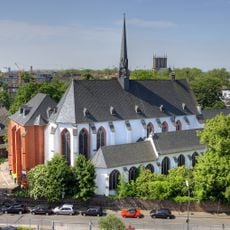
Cologne Charterhouse
657 m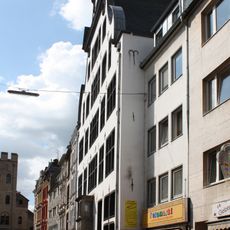
Haus Balchem
459 m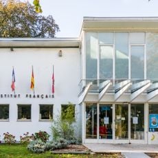
Institut français Cologne
907 m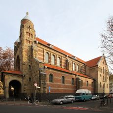
St. Maternus
463 m
Bürgerhaus Stollwerck
912 m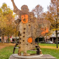
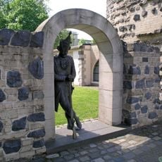
Trude-Herr-Denkmal
854 m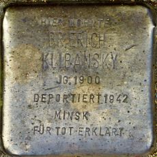
Stolperstein dedicated to Erich Klibansky
336 m
Josephstraße 32
893 m
Rautenstrauch-Joest-Museum
693 m
Wohnbebauung Stollwerck-Gelände
805 m
Kleine Heimat Zugasse, Köln
901 m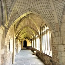
St. Severin Kreuzgang (Köln)
598 m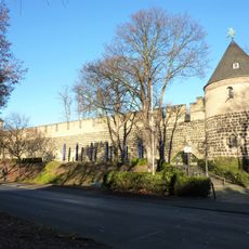
Stadtmauer am Sachsenring (Köln)
865 m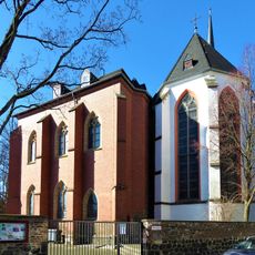
Kartause Köln, Kapitelhaus
657 m
Rundbau Bottmühle
638 m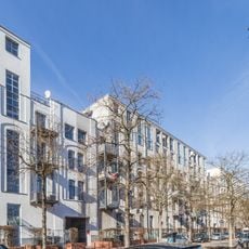
Annoriegel
700 mVisited this place? Tap the stars to rate it and share your experience / photos with the community! Try now! You can cancel it anytime.
Discover hidden gems everywhere you go!
From secret cafés to breathtaking viewpoints, skip the crowded tourist spots and find places that match your style. Our app makes it easy with voice search, smart filtering, route optimization, and insider tips from travelers worldwide. Download now for the complete mobile experience.

A unique approach to discovering new places❞
— Le Figaro
All the places worth exploring❞
— France Info
A tailor-made excursion in just a few clicks❞
— 20 Minutes