
Mondorfer See, protected area in Germany
Location: Niederkassel
Inception: 2017
GPS coordinates: 50.78740,7.07800
Latest update: May 25, 2025 09:40
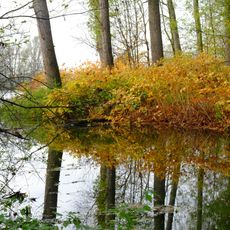
Siegaue
2.1 km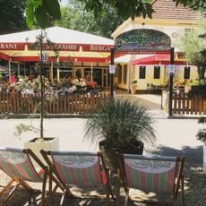
Siegfähre
3.2 km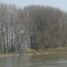
Herseler Werth
2.6 km
Auermühle
3.1 km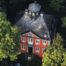
Burg Graurheindorf
3 km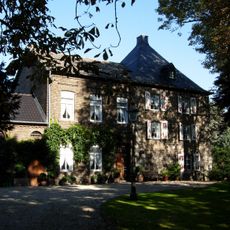
Burg Buschdorf
3.6 km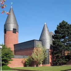
Adelheid von Vilich Church
2.2 km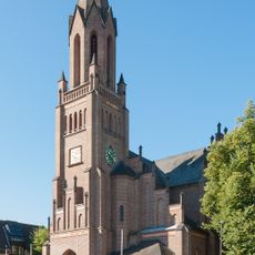
Church of St Lambertus (Bergheim)
1.7 km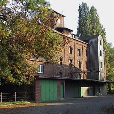
Eschmarer Mühle
2.9 km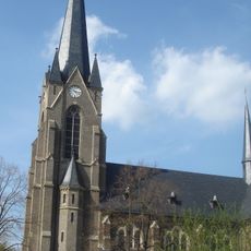
St. Aegidius (Hersel)
2.8 km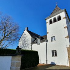
St. Peter und Paul
2.3 km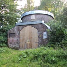
Mühlenstumpf Auerberg
3.5 km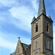
St. Margaretha (Graurheindorf)
2.5 km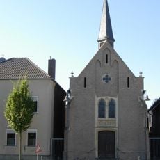
Aegidiuskapelle (Buschdorf, Bonn)
3.7 km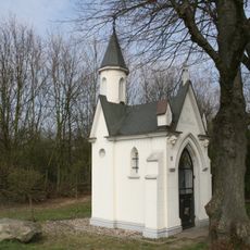
Immakulata-Kapelle
397 m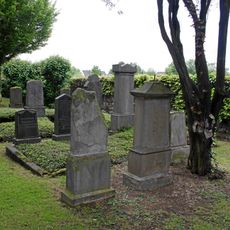
Jewish cemetery, Mondorf
1.1 km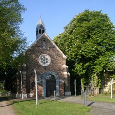
St. Antonius
2.7 km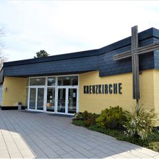
Kreuzkirche (Sieglar)
3.2 km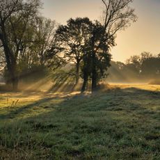
Siegaue
3.1 km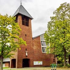
St. Bernhard
3.2 km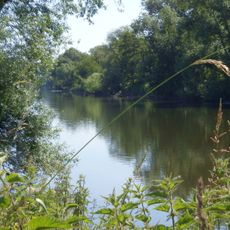
Siegmündung
2.6 km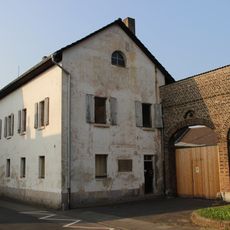
Estermannstraße 18
3.3 km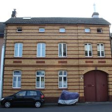
Estermannstraße 135
2.8 km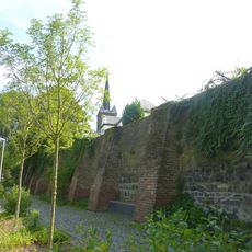
Alte Klostermauer
2.5 km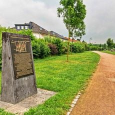
Stele Auerberger Mitte (Bonn)
3.5 km
Estermannstraße 30
3.3 km
Estermannstraße 61
3.2 km
Estermannstraße 63
3.2 kmReviews
Visited this place? Tap the stars to rate it and share your experience / photos with the community! Try now! You can cancel it anytime.
Discover hidden gems everywhere you go!
From secret cafés to breathtaking viewpoints, skip the crowded tourist spots and find places that match your style. Our app makes it easy with voice search, smart filtering, route optimization, and insider tips from travelers worldwide. Download now for the complete mobile experience.

A unique approach to discovering new places❞
— Le Figaro
All the places worth exploring❞
— France Info
A tailor-made excursion in just a few clicks❞
— 20 Minutes