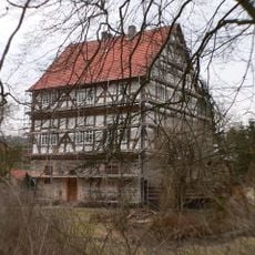
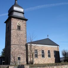
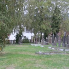
Gut Alte Teich, Historical estate in Atzelrode, Rotenburg an der Fulda, Germany
Gut Alte Teich is a former agricultural estate in Rotenburg an der Fulda situated at an elevation of about 287 meters (940 feet). The property sits beside a small stream along a municipal road and retains much of its rural building layout and grounds.
The estate belonged to the Riedesel family, who also ruled Ludwigseck Castle, and became part of the Rotenburg district by 1585. Its shift from working farm to residential use took place in 2001.
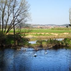
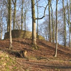
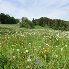
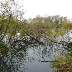
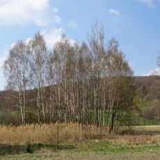
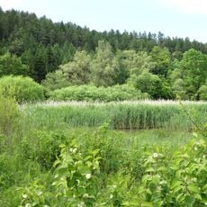
The place takes its name from a small pond that once existed nearby and shaped the local landscape. Today this name serves as a reminder of the historical connection between the estate and the surrounding water features.
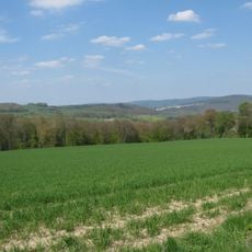
The property sits roughly 600 meters (1,970 feet) northwest of Atzelrode village and can be located using the coordinates 50.9921° N and 9.6837° E. The rural location makes for a quiet visit without heavy foot traffic or crowds.
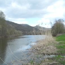
A small stream runs beside the estate and joins the Mündersbach creek about 200 meters (656 feet) to the south, where the old pond once stood. This waterway shaped both the development and the name of this place.
The community of curious travelers
AroundUs brings together thousands of curated places, local tips, and hidden gems, enriched daily by 60,000 contributors worldwide.