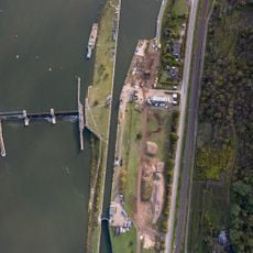
Moselgoldbrücke, Road bridge connecting Kobern-Gondorf and Niederfell, Germany
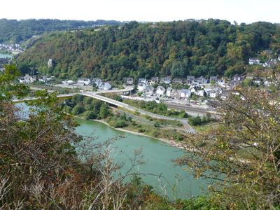
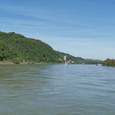
The Moselgoldbrücke is a steel road bridge that crosses the Moselle River for approximately 557 meters, connecting two communities on opposite banks. The structure rises about 7.5 meters above the water, allowing both vehicles and pedestrians to pass between the towns on either side.
This bridge was constructed in 1977 and represented a major step forward for regional transportation, connecting two federal highways that had not been directly linked before. The project improved access between communities that had been more isolated from each other previously.
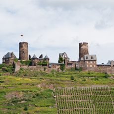
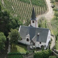
The area around this structure is shaped by wine-growing traditions that define how the landscape looks and how local communities use the land. Visitors walking here see terraced vineyards covering the hillsides, showing how deeply this work is woven into daily life in the region.
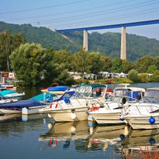
The bridge accommodates both vehicles and people on foot, making it useful for crossing while also offering chances to view the surrounding landscape. It is an active traffic route, so visitors should expect regular vehicle traffic when crossing here.
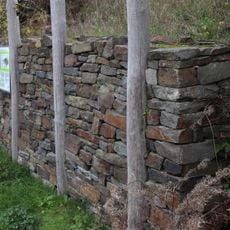
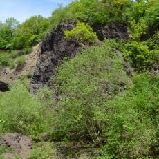
The name Moselgoldbrücke refers to the golden color of the stone found in this region, which becomes particularly striking in certain light. This detail is often overlooked despite being the source of the bridge's name and reflecting the local geology.
The community of curious travelers
AroundUs brings together thousands of curated places, local tips, and hidden gems, enriched daily by 60,000 contributors worldwide.