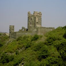
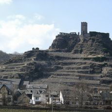
Goloring, Cultural heritage monument in Rhineland-Palatinate, Germany
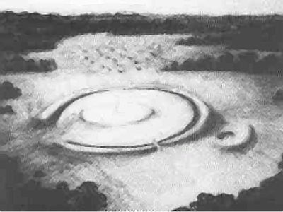
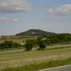
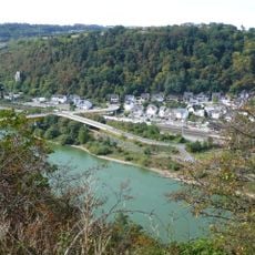
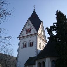
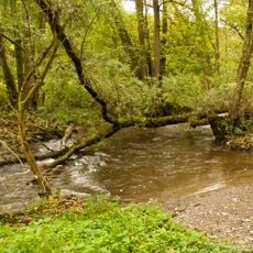
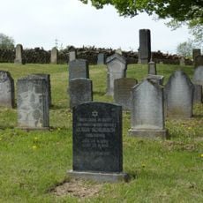
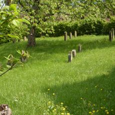
Goloring is an archaeological site in the forested landscape of Rhineland-Palatinate, consisting of a stone arrangement dating to prehistoric times. The remains lie near waterways and display features of an organized layout that was constructed by people in the Iron Age.
The site dates to the Iron Age, a period when communities in Europe began organizing into larger social groups. Archaeological findings suggest that this location served as a religious and social center for the region over an extended period.
This location served as a gathering place where prehistoric communities from the surrounding region came together for shared purposes. The arrangement of stones suggests that ritual activities and collective ceremonies took place here.
Access to the site is possible, but the surroundings are heavily forested and can be difficult to navigate in poor weather conditions. Sturdy footwear and preparation for uneven ground are recommended, especially during wet seasons.
The stone structures follow a circular or ring-shaped pattern, which holds special significance in archaeology for identifying prehistoric gathering places. This specific arrangement pattern distinguishes this location from random stone remains found elsewhere in the region.
The community of curious travelers
AroundUs brings together thousands of curated places, local tips, and hidden gems, enriched daily by 60,000 contributors worldwide.